Eagle Falls Trailhead Photos


You might also consider


More like Eagle Falls Trailhead
Recommended Reviews - Eagle Falls Trailhead
Start your review...


Reviews With Photos

The reviews said it was kid friendly. It was not. Parking is impossible so we had to park on the side of a narrow windy road and walk in. Which was dangerous. The walk to the falls, was not terrible but not suited for small kids and up hill. Once we got the the falls, there was no water fall to witness as it was July. There was a spot to swim though.


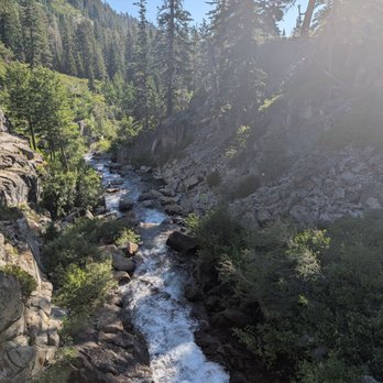
One of many waterfalls in the Tahoe area. The hikes to the summit and to the falls are neither very difficult nor long, but you will need to move a bit on up to trail to avoid the crowds that are filling up the water at the base. We parked on the street which was just a short walk from the trailhead.


This review is solely for Lower Eagle Falls. Instead of hiking here, we opted to simply drive directly here. Starting from highway 89, we went through the Upper Eagle Point Campground, which takes you through some very narrow public and private roads, many of which are littered with large potholes. Would only recommend the drive during non-winter months, and during the day when it is still well-lit outside. Although it takes awhile to reach from car via our route, we were able to go directly to Lower Eagle Falls without the need to hike. This was a huge boon for my elderly in-laws, as they were able to enjoy the scenic views without the physical exertion. You can conveniently park right across the falls on the side of the dirt road. And there are several key spots to stand to make some great pictures. We didn't feel the need to continue up the ever more treacherous dirt path upwards towards the bridge and onwards to Upper Eagle Falls, so at that point we simply turned around.


This was a short hike from the parking lot area to Eagle Falls. I learned that day that there are many trails in the area, but our goal was to visit the top of the hill. It was a fun and kid-friendly hike. Parking space is minimal; luckily, we found parking as we pulled up. A hiker was gracious enough to give us his parking ticket to use for the remainder of the day. The hike is less than 1 mile from the parking lot. It can be steep and has stairs, so watching your steps and strollers is not recommended. There's a small rest area with a bench and rocks you can sit on. You can view the waterfalls from this area or continue towards the bridge. There's also a small swimming area that you will see after you cross the bridge to the right. It was busy when we arrived, and families enjoyed the water. Overall, a convenient and short hike. A place to consider visiting. Good luck with parking!
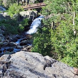

We hiked the trails this past weekend. Parking is limited and kind of crazy at times. People park in the most dangerous parts of the road. The rangers call it the highway of hell. Pretty crazy. We had to park a mile away almost and walk here. It was still fun but the cars get hectic later in the day. The altitude really effects you as you are walking around. It takes a little to get use to. Plus I'm not in shape but still kept at it. It was not far before you saw the waterfall and bridge going up. So beautiful and great place for the pictures. We took a lot. If you continue on you get to a lake I believe but we wanted to go down to the big lake. So we continued back on the loop side this time. The rangers were trimming the bushes as we were hiking up the trails. So nice of them to do that. The trails are kept in very nice shape because of them. Please try not to liter. Be carful on the bridge. I took a picture of it. I was walking and filming and that is when I tripped and almost fell. There are extra boards in the middle of the bridge and about 6 inches or more on each side of the walkway is lower than the middle and I caught my foot and thus tripped. We had such a great time hiking here and it is very pretty. Go out and walk around. you will love it to.


Eagles Falls Trailhead is a nice hike. A lot of great scenery to see and enjoy. The hike is not too bad. The weather was awesome.


Beautiful hike with a lot of steps. Parking was free when we went and the trails were well maintained. I would argue that its difficulty is not "easy" or necessarily family friendly. My kids loved it, but I was expecting an easier hike!

100% worth it. $5 for parking, but it goes to trail maintenance. Well marked path, but it will definitely make you break a sweat- it's mostly stairs the whole way.


Sunday, 8/13/2023 - We headed up to the mountain to hike at Eagle Falls. Address is 138 Emerald Bay Rd, South Lake Tahoe, CA 96150. There is parking by the street and there a parking lot with bathrooms here. Upon arrival... Pros 1) parking is limited. So if you go on the weekend, good luck on finding parking. It was packed when we arrived. 2) there are bathrooms here. Eagle Falls has its own parking lot besides the legal street parking. 3) hike isn't too far to see the falls. We got close to it. We didn't go all the way. Kiddos were tired and hot after a quarter mile hike. It was hot this day. Will have to try this hike again and go a little further when it's a little cooler. But it's beautiful!!! 4) it's an easy hike. But it is very rocky and lots of stairs. Not wheelchair friendly. 5) if you've any lower body pains, this may not be the hike for you. 6) when you go about a quarter mile hike in, there is a bench under a tree to rest up. 7) there's lots of nice people hiking. 8) Cons 1) none Conclusion I liked this hike. Wasn't too bad. Easy for the kids. Short hike to see the waterfall from a distance. This hike may be harder for those with lower body pains or those in wheelchair, as it's very rocky and lots of stairs. But it's a nice hike.


moderate trail, def expect to get your cardio in with all the stairs up the loop. should take about 45 mins if you take it chill like we did with pit stops to take in the beauty. we found one of the last two spots of parking at like 9:30a! parking was under $10 if i'm not mistaken (can't remember the actual price). everyone else was parking on the side of the road or in another parking lot just a minute north up the road. remember to get your day pass filled out before hiking! carry out what you carry in.
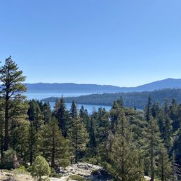

The hike to Eagle Falls is short, easy, and very family friendly. This was the first hike that I did while visiting Emerald Bay State Park, and it was a great warmup for the longer hike that I did later on. The Entrance to the Eagle Falls Trailhead is right before the Emerald Bay State Park parking lot. Parking is terrible. Straight up. It might be best to find an open spot along the road unless you plan on arriving around 7 am. The parking lot is extremely small for the amount of visitors that come here. Once you secure parking, the trailhead entrance is hard to miss. The trail to Eagle Falls is a short loop trail, so you can start on either trail to get there. The elevation gain is minimal and it's less than a mile roundtrip. There are a few scenic vista points that are worth stopping by on your way to the falls. The views of Lake Tahoe at the top are stunning! There's no signage for the falls, but they're located underneath the bridge. I came during mid September and unfortunately the falls were damn near non-existent. I actually didn't even realize that I had passed them up until I saw another group taking pictures behind the bridge. If you're going for the falls, don't go during September or you'll be disappointed. You can continue to Eagle Lake which requires a permit. I feel like most people who were hiking to the Lake didn't have a permit, but that's none of my business. Didn't hike to the lake since I had planned on doing a second hike on the Rubicon trail, but now that I know that it's not much further from the falls, I will definitely hike to it next time. Even though the falls were sparse and the trail to the falls was short and quick, I still enjoyed the views of the lake and forest. Looking forward to coming back now that we've had some rain. Hopefully the falls will be flourishing next time.


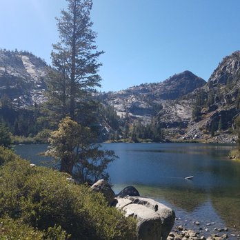
What a beautiful and stunning hike. Eagle Falls Trailhead is about a 2 mile hike around trip. It's a moderate hike, it has it steep, rocky section but fairly simple. We had group of 15 people including small kids and they didn't have problem with the hike at all. The reward at the end of the hike to Eagle Lake was worth the hike. It's a beautiful clear blue water, picture perfect postcard. There's plenty of area on the trail to stop and take pictures or to rest. If you're planning to go i highly recommend going there early before 8am because parking is very competitive in the lot and on highway 89. Another thing is that Eagle Falls trail is a very popular hike trail and get can congested on the trail. They do have restroom there. Overall it was worth it. The only thing that we regret was not bringing or swimming stuff, but we did dip our feet and legs in the nice cold clear blue water. read more
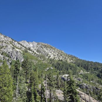
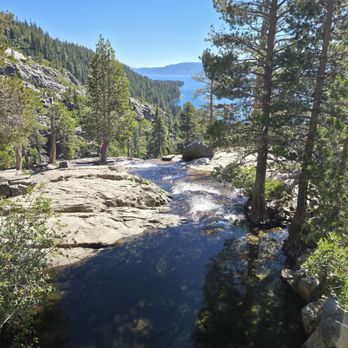
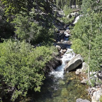


30 days ago
Such a beautiful trail and views. I've done this two times and I'll continue to visit Eagle Lake whenever I'm in Lake Tahoe. Please bring a bathing suit and towel because you will want to jump into the lake! As of August 23 the address there was incorrect. It was 20 minutes away from the real one. Google Maps had the real accurate location. I have added a screenshot of the coordinates when I arrived to the real location. There are two bathrooms and some porter potties, but the porter potties had not been cleaned out, and it was unusable. read more
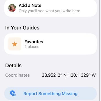


2 months ago

2 months ago
The reviews said it was kid friendly. It was not. Parking is impossible so we had to park on the side of a narrow windy road and walk in. Which was dangerous. The walk to the falls, was not terrible but not suited for small kids and up hill. Once we got the the falls, there was no water fall to witness as it was July. There was a spot to swim though. read more


One of many waterfalls in the Tahoe area. The hikes to the summit and to the falls are neither very difficult nor long, but you will need to move a bit on up to trail to avoid the crowds that are filling up the water at the base. We parked on the street which was just a short walk from the trailhead. read more

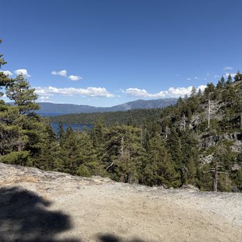
30 days ago
Such a beautiful hike! Worth every minute! Took about an hour and a half to get to the lake from parking lot. Definitely go before 9 AM for better parking options! read more


2 months ago

This review is solely for Lower Eagle Falls. Instead of hiking here, we opted to simply drive directly here. Starting from highway 89, we went through the Upper Eagle Point Campground, which takes you through some very narrow public and private roads, many of which are littered with large potholes. Would only recommend the drive during non-winter months, and during the day when it is still well-lit outside. Although it takes awhile to reach from car via our route, we were able to go directly to Lower Eagle Falls without the need to hike. This was a huge boon for my elderly in-laws, as they were able to enjoy the scenic views without the physical exertion. You can conveniently park right across the falls on the side of the dirt road. And there are several key spots to stand to make some great pictures. We didn't feel the need to continue up the ever more treacherous dirt path upwards towards the bridge and onwards to Upper Eagle Falls, so at that point we simply turned around. read more
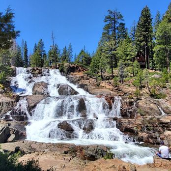
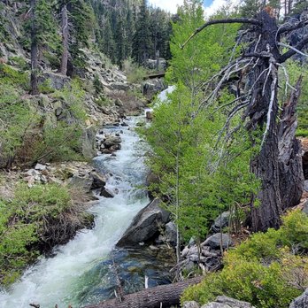

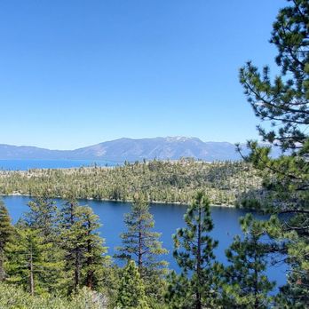
4 months ago
Stumbled upon this trailhead on the way around the drive of the lake second day of our trip. Beautiful area! read more


2 years ago
This was a short hike from the parking lot area to Eagle Falls. I learned that day that there are many trails in the area, but our goal was to visit the top of the hill. It was a fun and kid-friendly hike. Parking space is minimal; luckily, we found parking as we pulled up. A hiker was gracious enough to give us his parking ticket to use for the remainder of the day. The hike is less than 1 mile from the parking lot. It can be steep and has stairs, so watching your steps and strollers is not recommended. There's a small rest area with a bench and rocks you can sit on. You can view the waterfalls from this area or continue towards the bridge. There's also a small swimming area that you will see after you cross the bridge to the right. It was busy when we arrived, and families enjoyed the water. Overall, a convenient and short hike. A place to consider visiting. Good luck with parking! read more




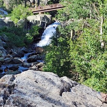
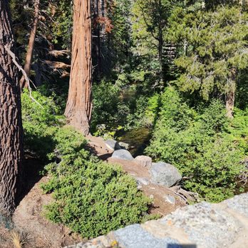
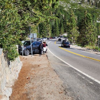
We hiked the trails this past weekend. Parking is limited and kind of crazy at times. People park in the most dangerous parts of the road. The rangers call it the highway of hell. Pretty crazy. We had to park a mile away almost and walk here. It was still fun but the cars get hectic later in the day. The altitude really effects you as you are walking around. It takes a little to get use to. Plus I'm not in shape but still kept at it. It was not far before you saw the waterfall and bridge going up. So beautiful and great place for the pictures. We took a lot. If you continue on you get to a lake I believe but we wanted to go down to the big lake. So we continued back on the loop side this time. The rangers were trimming the bushes as we were hiking up the trails. So nice of them to do that. The trails are kept in very nice shape because of them. Please try not to liter. Be carful on the bridge. I took a picture of it. I was walking and filming and that is when I tripped and almost fell. There are extra boards in the middle of the bridge and about 6 inches or more on each side of the walkway is lower than the middle and I caught my foot and thus tripped. We had such a great time hiking here and it is very pretty. Go out and walk around. you will love it to. read more



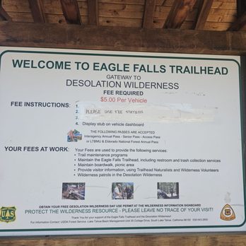




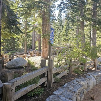

1 year ago
Beautiful hike with a lot of steps. Parking was free when we went and the trails were well maintained. I would argue that its difficulty is not "easy" or necessarily family friendly. My kids loved it, but I was expecting an easier hike! read more


1 year ago
100% worth it. $5 for parking, but it goes to trail maintenance. Well marked path, but it will definitely make you break a sweat- it's mostly stairs the whole way. read more


Sunday, 8/13/2023 - We headed up to the mountain to hike at Eagle Falls. Address is 138 Emerald Bay Rd, South Lake Tahoe, CA 96150. There is parking by the street and there a parking lot with bathrooms here. Upon arrival... Pros 1) parking is limited. So if you go on the weekend, good luck on finding parking. It was packed when we arrived. 2) there are bathrooms here. Eagle Falls has its own parking lot besides the legal street parking. 3) hike isn't too far to see the falls. We got close to it. We didn't go all the way. Kiddos were tired and hot after a quarter mile hike. It was hot this day. Will have to try this hike again and go a little further when it's a little cooler. But it's beautiful!!! 4) it's an easy hike. But it is very rocky and lots of stairs. Not wheelchair friendly. 5) if you've any lower body pains, this may not be the hike for you. 6) when you go about a quarter mile hike in, there is a bench under a tree to rest up. 7) there's lots of nice people hiking. 8) Cons 1) none Conclusion I liked this hike. Wasn't too bad. Easy for the kids. Short hike to see the waterfall from a distance. This hike may be harder for those with lower body pains or those in wheelchair, as it's very rocky and lots of stairs. But it's a nice hike. read more


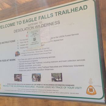

1 year ago
moderate trail, def expect to get your cardio in with all the stairs up the loop. should take about 45 mins if you take it chill like we did with pit stops to take in the beauty. we found one of the last two spots of parking at like 9:30a! parking was under $10 if i'm not mistaken (can't remember the actual price). everyone else was parking on the side of the road or in another parking lot just a minute north up the road. remember to get your day pass filled out before hiking! carry out what you carry in. read more


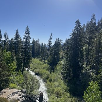


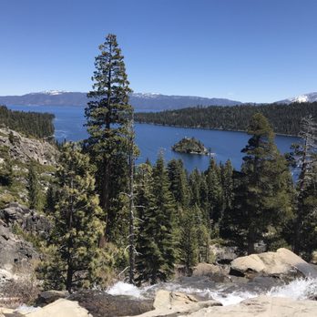
The hike to Eagle Falls is short, easy, and very family friendly. This was the first hike that I did while visiting Emerald Bay State Park, and it was a great warmup for the longer hike that I did later on. The Entrance to the Eagle Falls Trailhead is right before the Emerald Bay State Park parking lot. Parking is terrible. Straight up. It might be best to find an open spot along the road unless you plan on arriving around 7 am. The parking lot is extremely small for the amount of visitors that come here. Once you secure parking, the trailhead entrance is hard to miss. The trail to Eagle Falls is a short loop trail, so you can start on either trail to get there. The elevation gain is minimal and it's less than a mile roundtrip. There are a few scenic vista points that are worth stopping by on your way to the falls. The views of Lake Tahoe at the top are stunning! There's no signage for the falls, but they're located underneath the bridge. I came during mid September and unfortunately the falls were damn near non-existent. I actually didn't even realize that I had passed them up until I saw another group taking pictures behind the bridge. If you're going for the falls, don't go during September or you'll be disappointed. You can continue to Eagle Lake which requires a permit. I feel like most people who were hiking to the Lake didn't have a permit, but that's none of my business. Didn't hike to the lake since I had planned on doing a second hike on the Rubicon trail, but now that I know that it's not much further from the falls, I will definitely hike to it next time. Even though the falls were sparse and the trail to the falls was short and quick, I still enjoyed the views of the lake and forest. Looking forward to coming back now that we've had some rain. Hopefully the falls will be flourishing next time. read more
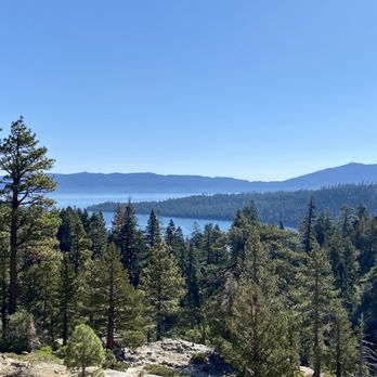

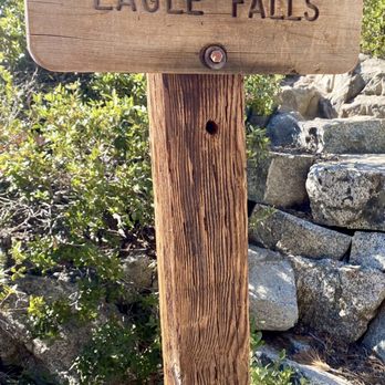


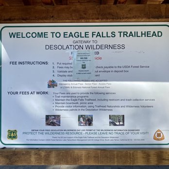
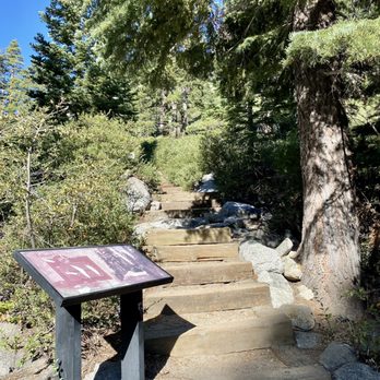


This review is for Vikingsholm Trail To Lower Eagle Falls which was a ~2.5 miles round trip that took ~1.5 hours to complete. Extremely crowded and popular hike ($10 parking fee at Vikingsholm Parking Lot or free parking on the side of the highway). Easy decline down to Emerald Bay; tough incline back to the parking lot. Great views of the bay and waterfall! Short video of the hike for those interested! https://youtu.be/LugElt4D7h0 read more


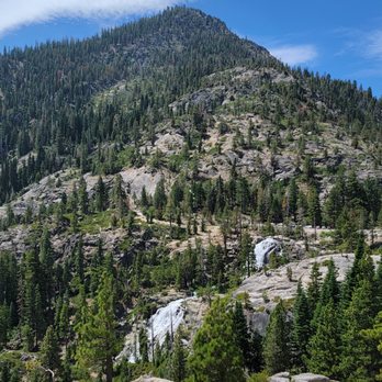
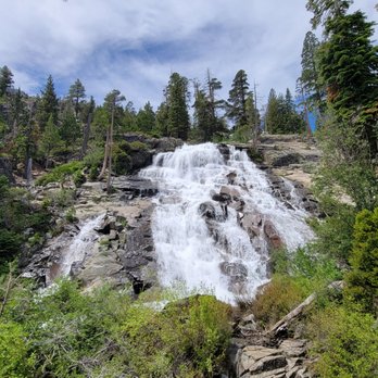


It's hard to put into words how otherworldly majestic Lake Tahoe is. Hiking in Tahoe is perhaps the best way to enjoy the scenery and really experience this place for all that it is. There are no bad vantage points of the lake, but my favorite one was when we were driving west along State Route 89 towards Emerald Bay. There's one short segment where the shoulder of the road slopes down towards the water below and it looks like you're surrounded on most sides by water - Emerald Bay on the north, Cascade Lake on the south, and Lake Tahoe on the East. Hiking the Eagle Falls Trail through the edge of Desolation Wilderness was the highlight of our trip. We visited in June of 2021 and did a roughly 10-mile loop. We parked along SR 89 in order to avoid the fee at the Eagle Falls parking lot. Near the trailhead is a bridge that crosses over the Upper Eagle Falls. This is a nice vantage point, but the real gem was Eagle Lake about a mile further up the trail (with a strenuous climb over rugged terrain). Note that you need a wilderness permit to enter this area; day hikers can pick one up for free at the self-serve kiosk at the trailhead. Eagle Lake was so picturesque! The water is crystal-clear and the trees and mountains form a lovely backdrop. There were a few groups of people here but it didn't feel crowded. We stayed a while at the lake, then continued up the trail until we got to the Bayview Trail, then we took the latter back down the mountain. On the way back down, we went off the beaten path to visit Granite Lake, where we enjoyed complete solitude without another person in sight. We also took a detour along the Cascade Falls Trail to relax at the falls above Cascade Lake. Before heading back to the car, we made a quick visit to Inspiration Point, though while the views of Lake Tahoe there were decent, the views from the Bayview Trail were prettier still. Because of the high elevation (our hike took us from an initial 6,600 feet up to 8,400 feet), how the landscape looks depends on what time of year you go. June was great because it wasn't too hot, and the snow had all melted save for pockets of it capping the taller peaks. The crisp air, the blue skies, and the rocky mountain scenery peppered with fir and pine trees made for the perfect wilderness hike. And that's just scratching the surface of what Desolation Wilderness has to offer. read more


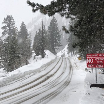



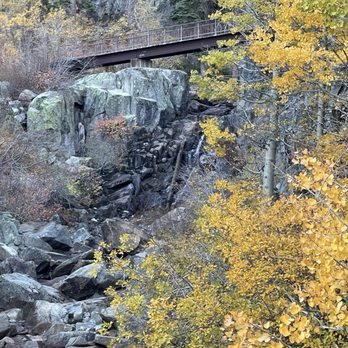
It's only a bit over a mile, with a gain of 144 feet. Unless you have mobility issues, this is an easy hike if you plan to meet the middle of the falls. It's almost like walking a staircase ten floors up, but because they are not uniform, meaning you take little steps, big steps, giant steps...you will end up walking like John Cleese of the Ministry of Silly Walks. The payoff is a bridge over a portion of the waterfall that leads to a few pools at the bottom of another cascade of falls. Though the water rushes into the pool and rushes out, the icy pools are generally safe, unless you're adventurously stupid. Tip: I tried walking around the rocks, careful not to fall in, which wasn't too fun. Then I tried walking in the lake barefoot (you can't fall in if you're already in) but the rocks were slippery and/or painful. It wasn't until I decided to just walk in the lake with my shoes that I had a fun, easy time, so I recommend a second pair of shoes. read more


2 years ago
My partner and I went in late October and the views were a little underwhelming but the hike itself was short and not super challenging. It is mainly going up hill and climbing stairs for 10 minutes to get to the view. We found parking easily at 6am. read more

5 years ago
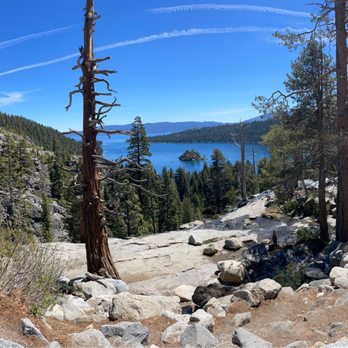
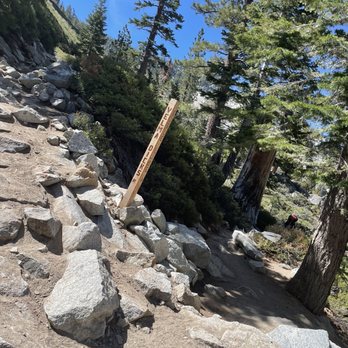
This is a very popular trail and I can see why. It's another totally short and sweet hike, that's perfect to do in the morning. Great views of Emerald Bay! We quickly hiked from the trail head to Eagle Lake and back in probably less than an hour. I honestly wasn't really even keeping time. This hike reminds me a lot of being in Yosemite. You'll cross many Falls and rushing water, climb steps, be on trail, and amongst the trees. It's the perfect little get out and get in some steps hike that the entire family can do. There are lots of pinecones, which are always my favorite so I can leave my pinecone heart along the side of the trail. I like to tell myself this makes people smile when they look over and spot it - just let me continue to think that ;) The parking lot fills up fast but we snagged parking along the highway in an area you are allowed to park. I'd be super careful parking out here the day before we witnessed many cars being ticketed for parking in No Parking areas. You definitely don't want to do that. I brought a water bottle, but really this is so short you won't need much of that type of thing. A little sunscreen, a few ounces of water will do the trick and your hiking boots are probably a good idea because of the terrain but I didn't put mine on and was fine to skip around in my tennis shoes. Enjoy! read more




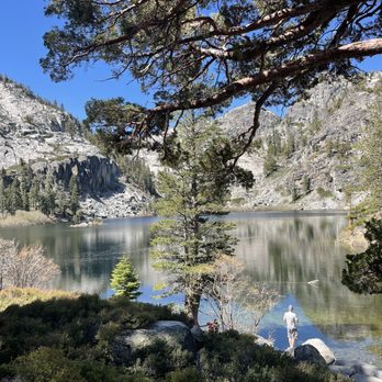


5 years ago
Gorgeous hike with views of the Upper Eagle Falls. Came here on a Saturday around 9:30am and the paid parking lot was already full ($10 self-service). You should either arrive here early in the morning on weekends or come during the weekday if possible. We ended up parking for free along the highway about a mile up. There are 3 porta-potties at the trailhead as well as restrooms in a building (still porta-potty toilets). People had dogs with them and plenty of groups had small kids. It takes about 0.5 mile to cross the bridge to reach the waterfall. It's steep but there are stone steps. There's limited shade so wear sunscreen and bring sunglasses/a hat. There were a lot of people as it's a popular trail, and you can hike further up to Eagle Lake. I'd suggest wearing boots rather than sneakers since some areas were a bit slippery. Overall, it's a pretty trail with fresh air and nice views. read more


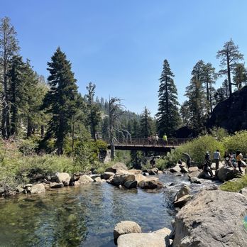
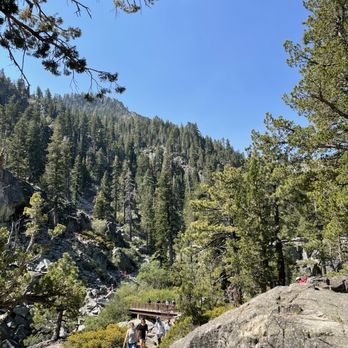

2 years ago

Our group of 12 ventured through the Eagle Falls trailhead on a beautiful Sunday afternoon. There are two parts to this adventure: upper falls and lower falls. We only went to the upper one -- a ranger told us it would be about a two mile hike roundtrip but it felt much less. There are a lot of steep stairs on that side of the park so I would not recommend it for those with knee or ankle problems. The views are spectacular and the Tahoe blue water is so serene. Definitely a great place to unwind and to get in touch with nature. If possible, I would suggest visiting on a weekday to avoid the crowds. Bathrooms are disgusting so make sure to bring some baby wipes, ladies! I would gladly agree that this spot is kid friendly. I saw a lot of moms-to-be roaming around too. Some pro tips: 1) arrive EARLY or parking will be a nightmare. 2) the sun is strong and fierce here as the shade is scarce so bring plenty of sun block or just hike through in the early morning if you're like me and burn while in direct sunlight for extended periods of time. 3) bring snacks, food, and a lot of water. Definitely a good place to picnic and have lunch. 4) bring some swim wear and water shoes. You can take a dip and walk through some of the streams. Water is cold but refreshing. 5) the drive will be pretty deep down the 50 so don't make any plans that you will have to rush to after visiting Eagle Falls. You'll need to make a day out of this trip. read more

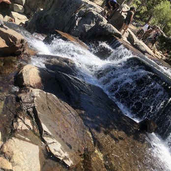


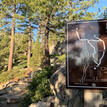
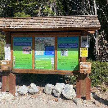
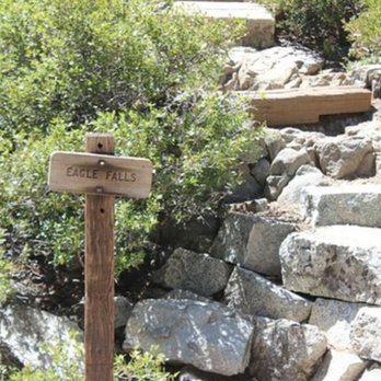
Eagle Falls Trailhead was quite deceptive for me and the trailhead to at least the upper portion of the falls were disappointing. In truth, I can explain it all. There are separate sections towards Eagle Falls. I wonder....does anyone else know that?? Both areas are situated near each other.....if you're heading clockwise around Lake Tahoe, right after Inspiration Point is the official Eagle Falls Trailhead. I arrived early morning and there was barely any parking. Past like 8:30am - 9am, you're out of luck. Then you have to look for random spaces along the main road. I had read that Eagle Falls and Trailhead was a worthwhile hike here in Lake Tahoe. So when I arrived, I had high expectations for the sights, scenery and especially the waterfalls. The trailhead was simple to find. There were clear markings and signs. Even posted was a small map on how to navigate the trail. Yet....surprisingly, the SHORT, SHORT PATH was a tiny loop navigating towards the upper section of the falls. In all....this trail was around 1/3 of a mile long. Maybe I completely missed it all. Maybe I needed to retrace my steps. It was certainly underwhelming! I followed the path, the loop heading off to the right that specifically stated, "Eagle Loop" instead of towards the left that said, "Eagle Lake". Regardless, lol....in good humor.....I took specific photos of this trail so I'm not "crazy in the head". Venturing up and around the steps.....I then stumbled upon, specifically again....the sign saying that I had arrived at Eagle Falls. Really? The problem was that this must have been Upper Eagle Falls. And...the views here were mediocre, average, and just flat out boring. Well....I said to myself.....time to move on. This could not have been the real Eagle Falls. Yet....I have pictures as proof! Summarizing....Eagle Falls Trailhead was a waste of time!!! But, wait..... Lower Eagle Falls was much better!! Lower Eagle Falls was pleasant and a significant improvement from the upper section and the actual Eagle Falls Trailhead. For Lower Eagle Falls....it's located right next to Vikingsholm Castle inside of Emerald Bay State Park....just briefly down the road as you continue heading clockwise around Lake Tahoe. Now being mid-morning....yeah, Emerald Bay's parking lot was packed. I had to drive a few minutes further down the road and park along the shoulder to then walk back here to the parking lot. And to arrive at Lower Eagle Falls, I hiked 1 mile down to the shore. The decline was pretty steep, so the trek back up was somewhat hard. And before venturing down to the bottom, I grabbed a few photos of Lake Tahoe from the parking lot area.....absolutely beautiful views from up-top among the playful, rocky terrain with significant views of Emerald Bay in the background. Making my way to the shore.....I walked past Vikingsholm Castle and headed along what was called Rubicon Trail.....I easily accessed signs mentioning Eagle Falls being a short stroll away. This was an improvement. The water flowing and the surroundings were pleasant. BUT.....continuing even further - 1/4 mile longer crossing over a bridge - I witnessed the best of it all....Lower Eagle Falls. Here, the falls were very picturesque.....situated among a small platform. These Lower Eagle Falls trickled fluidly down the rocks surrounded among a tranquil forest setting. This was what I was hoping and expecting from Eagle Falls. I spent 15 minutes hanging out here at the overlook and another 15 minutes appreciating the Tahoe beach shoreline....before eventually heading back up the 1 mile trail. Now I was satisfied, lol. For those who intend on coming here and visiting Upper Eagle Falls and or the Eagle Falls Trailhead.....my advice is to skip this entirely. I'm certain the loop I navigated around was a complete miss. The only section of Eagle Falls worthy of exploring was.....when I ventured 1 mile down to the Lower Eagle Falls area inside of Emerald Bay State Park. You'll understand it all if you've followed my story. And if you've made it this far, thank you for taking the time to read this. read more




This was a gorgeous hike up to Eagle Lake. We went in early April and it was a bit icy and snowy, to where we sunk in a bit, at points on the trail but we were wearing regular hiking boots and made it okay! (As long as you're willing to potentially slip a little bit - mild risk was taken haha). The view of the lake was worth the hike! From the trailhead to the lake took a little over an hour. Super doable and beautiful along the way! read more


3 years ago
Stunning views! Parking gets full fast and I got to the trailhead before 7am and had no issues but it was full by 8:30. The trail is well maintained and not a difficult hike. We made it to the lake and enjoyed the views but there was a lot of mosquitoes (bring bug spray if you want to stay for a bit). Overall it was worth it! read more




Beautiful! Loved all the beautiful views. Make sure you hike all the way to the top. It's gorgeous up top. Hike wasn't too hard but it's not super easy either. Go early it gets really busy and parking can be a bit of a challenge. Be sure to use the bathroom before you get here. The guys I was with said it was so gross. I mean they didn't even want to open their eyes so imagine. We hiked on 4/9/22. Not a lot of snow. read more




5 years ago
The Falls are accessible from Lake Tahoe's Vikingsholm area. You'll get quite a number of lovely views of the falls as you ascend up the trail. Tip: The area is loveliest during Spring runoff, but that's also the time when the water near the falls is the most dangerous. The least difficult and most popular trail to the upper falls starts from the Emerald Bay road on the west side next to the parking lot. This trail is paved for most of the way, and the scenary becomes postcard quality at the bridge you'll come to shortly. Proceed along the trail a little further and you'll come to Eagle Lake, which is definitely a photo opportunity! The trail is at its most crowded during Summer weekends. The best time to visit is early-to-mid Summer because the snow often covers the trail through June. read more


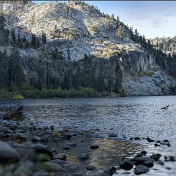


This is probably my favorite hike ever. It is absolutely gorgeous. When you get to the lake it is just spectacular. Its not too hard of a trail but not easy either. I actually lost the trail at one point but found it easily after that when following others. Highly recommend. read more


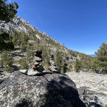

6 years ago
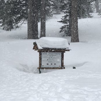
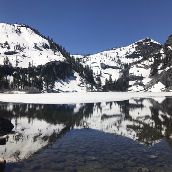
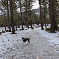
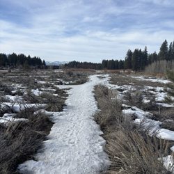
Me and my boyfriend came here on March 2nd. We weren't sure what to expect coming at this time of year as most of the reviews were from people coming during the summer months, so we were definitely slightly under prepared. We got there early, per the advice of everyone else, at about 9:30, and there were only two other couples there before us. The stairs at the beginning of the trailhead were completely covered with snow, (we didn't even know they were there until we came back 5 hours later and some of the snow had melted) so it was hard to figure out which way to go. We relied on a few footprints in the snow to guide our way. We also had a reservation to go into the Desolation Wilderness which we reserved a few weeks before our trip, so we walked past the waterfall and hiked to Eagle Lake. Out here, the trail was even harder to see. With us having absolutely NO snow gear (only regular hiking boots) this was kind of a hard hike with the snow and ice. We are very active people and almost every step we took, we were trying not to eat s*** - which we definitely did a couple times, and found ourselves needing to stop and rest. Every other person we saw were geared up with spiked shoes, snow shoes, and poles. They told us we were brave for not having anything, we assured them it wasn't really bravery, more stupidity lol. We got to Eagle Lake and it was completely frozen with about five inches of snow over the ice. We saw a couple people skiing across it, so we figured it was safe to go out onto it. Super cool experience walking to the middle of a frozen lake. We sat on the rocks by the lake and hung out for a while, ate some snacks, and filled our water bottle with water that was flowing out of the lake into a small river. It was the most refreshing water we've ever had. We turned back to the trailhead from here instead of going further into the wilderness. The whole thing took us about 4-5 hours, but we definitely stopped to take lots of pictures and to just chill and take it all in. I feel like this goes without saying, but it was BEAUTIFUL. This is definitely a dog friendly hike, we saw so many that were having the time of their lives, and it made us sad that ours were back home in Texas and not with us. We are looking to move to the area so they will definitely be with us next time. So excited to come here in the warmer months!! read more


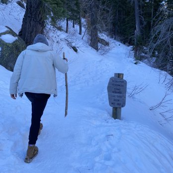


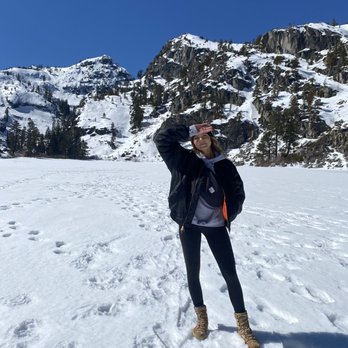


Definitely a work out trail, but not impossible. This is coming from someone who hardly works out so this might not be a "medium" rated trail. There is definitely stairs to help, but some are pretty high for short people. Half way through the trail there is an amazing view point of the lake. Went in early October and there was hardly any water at the waterfall so we decided to stay at the lake and have lunch. The way back took less time, but it still was a work out. Def recommend for an alternate hike then going along the green bay trails. read more



5 years ago

4 years ago
Amazing hike!!!! I love every minute of it!!! I felt my lungs inflate with the onrush of beautiful sounds of water, whiff of negative ions that boost my mood to still continue!!!! read more



Ahhh this place reminds me of Yosemite with its rock formation, but far less tourisy. The parking lot is small, but you can park on the side of the road. The hike isn't bad. At first there's a crap load of stairs, and if you avoid the stairmaster like I've been lately, you'll get slightly winded. That, plus the elevation change. Then half way up to Eagle's lake, it's a slow gradual incline without the stairs. Eagle's lake reminded me of mirror lake in Yosemite. It's so beautiful. Tip: Come early, bring snacks and water. And every so often, take a minute to turn around and look at your surroundings. I wanna come back and do the full loop. read more


If you get here early enough (before 8am), you can park inside. I don't mind paying the $5 fee because it goes towards maintaining the train and the bathrooms everyone uses. There is a desolation permit that is needed to be filled out beforehand, which I didn't know. Sorry! The trail to Eagle Lake was moderate and sometimes was hard due to the snow that was still on the ground. Some parts looked like the snow was part of the ground but it was actually a little bridge! I felt through one spot as it got warmer in the day so definitely be careful! I would be cautious about bringing smaller children as there are a lot of spots they can trip, like I did ha! Bring hiking/walking poles if you have problems balancing, but they were incredibly useful my time as there was a lot of slipping and sliding from the ice/snow! There is a picnic area behind the bathrooms. Bring TP and hand sanitizer as they have no running water. In front of the Eagle Falls parking lot, there is a waterfall you can see. Be careful when you cross the highway and to the right, there are stairs to lead down. read more



Page 1 of 6
More info about Eagle Falls Trailhead
Hwy 89
South Lake Tahoe, CA 96150
Directions
(530) 525-7277
Call Now
Visit Website
http://www.fs.usda.gov/recarea/ltbmu/recarea/?recid=11827
Hours
Indoor Amenities
Outdoor Amenities
Eagle Falls Trailhead Reviews in Other Languages
Ask the Community - Eagle Falls Trailhead
How many miles?
2 mile round trip to Eagle Lake trail, up the Eagle Falls trailhead being on a stair master the majority of the way, but it was so worth the beautiful views you get to enjoy during the hike. There are plenty of spots to stop and take photos of…
Review Highlights - Eagle Falls Trailhead
You might also consider






















Why does Yelp recommend reviews?
3 reviews that are not currently recommended
The reviews below are not factored into the business's overall star rating.
14 years ago
15 years ago

8 years ago


