West Fork Trail Photos


You might also consider


More like West Fork Trail
Recommended Reviews - West Fork Trail
Start your review...


Reviews With Photos


Pretty cool paved road trail that goes all the way to the Cogswell damn. We came here to ride our bikes, it was 15 miles round trip with almost 1,000 feet elevation gain. The elevation gain was gradual until about the last mile and a half to the damn. On the return back you can coast downhill, there was also about 3 small waterfalls along the trail. The area of the trail is location the national forest so you will need an adventure pass for parking. (You can get them at any Big 5 sporting good stores. $5 daily, & $35 for an annual pass.) Like other reviewers mentioned parking does fill up later in the day so try to arrive early to get a spot.
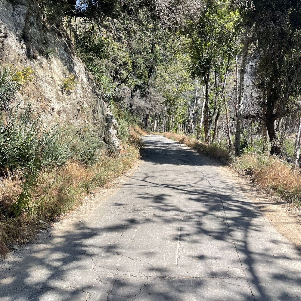

Beautiful isolated bike path / road to campsite. If you want a slightly bumpy and shaded ride to a view from top of a dam, this is it! Apparently only open on weekends to the public for now. The parking lot can get crowded on clear weekends, so I recommend arriving before 9. When I left at noon, there were cars circling to find parking. The road is about 6 miles of relative flat occasionally broken pavement that is best done with a bike with wider tires than a road bike. It's a blast on a gravel bike. The last 3/4 of mile is a moderate climb to the top of the dam, but with little shade it can be tough if you're not expecting it. The payoff is the ride back is all downhill! I recommend carrying a bell and be ready to announce yourself as there will be large groups of hikers and walkers enjoying the walk.


I guess we started maybe further up the trail. Sounds like some say it was a total of 16 miles. We heard it was about 5 in and 5 back from the parking lot/bridge where we entered the trail. Because of time and numerous stops to enjoy the scenery we only did a total of 4 miles. It was beautiful! We enjoyed hiking on the paved road and also along the rocks of the creek. Saw some fishermen (catch and release), mallard ducks, black crows, squirrels, and got to listen to some beautiful but shy birds along the entire hike. We got to see a mini waterfall, too. Would have loved to see what glory awaited at the end. Maybe next time. Annoyed by the graffiti in the parking lot and stupid pet owners who don't pick up their crap... Pls keep your crap in your own crappy neighborhood.


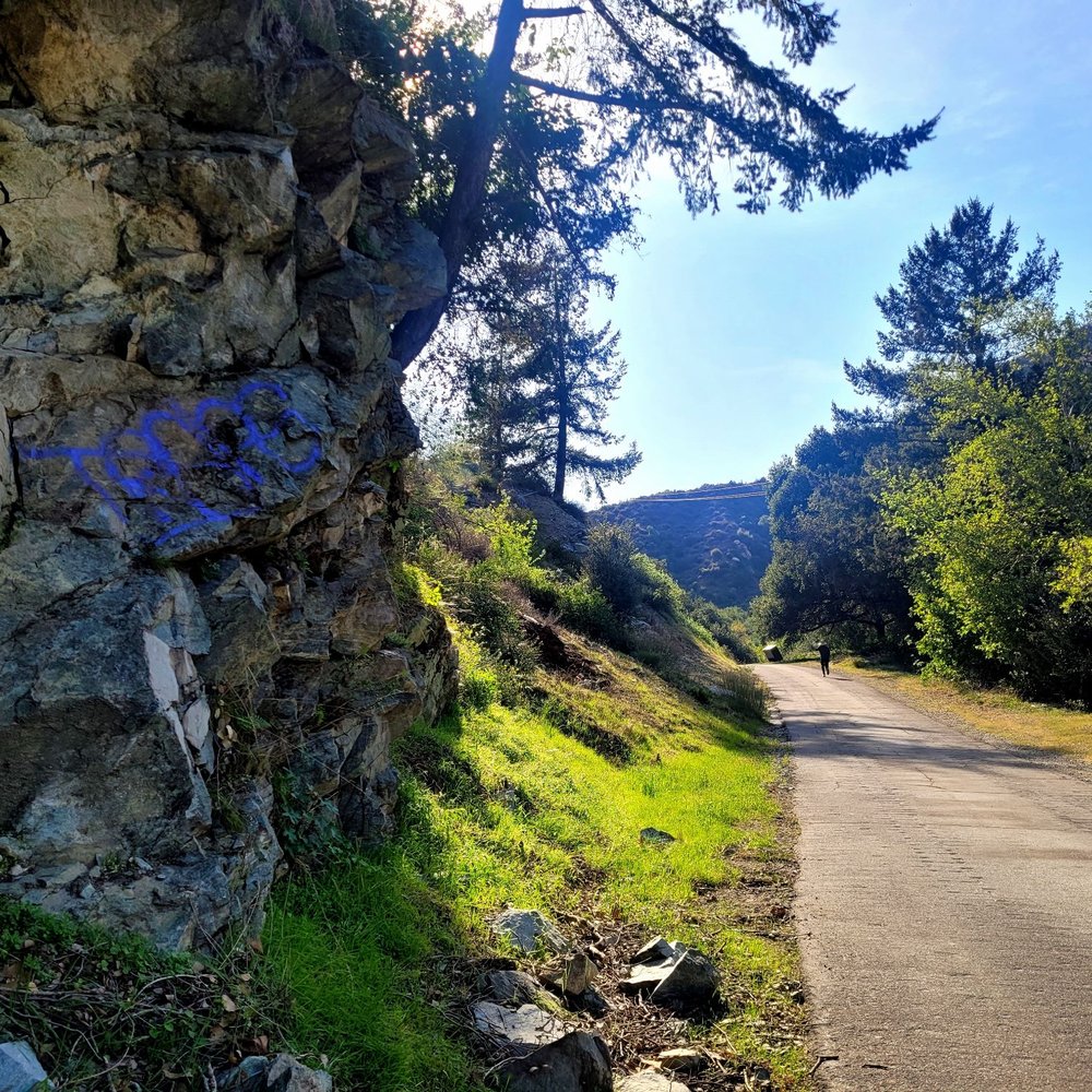
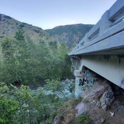
Cool spot to bring the little ones. We had fun on our adventure. The water was hella cold but it was fun and refreshing after that hike. One note to the ugly people who like to tagged on rocks you are a bunch of losers. You take the beauty out this place by tagging nonsense on the rocks. Find a better and productive hobby assholes. How about volunteering and picking up the garbage other losers leave behind. Overall it's beautiful out there just wish humans were more respectful.


Great Paved Trail (7miles) that leads to a Dirt Road for another 5 miles and even up to mt wilson if you choose to go that far. Nice ample parking at the base. Great for bike riding. Even better with a CX bike or Dirt Bike. I love this place but clean up after yourselves please.


Bought a book that listed wrong parking lot long/lat directions. Another Yelp reviewer listed the correct directions 34.242286, -117.870182 * Bugs galore! Bring bug spray. * Portables only (gross) * 15 miles round trip (ends at Coswell Dam 7.5 miles) * Paved road: ADA compliant, lots of bicycle riders, few hikers, even fewer fishers, stollers, and wagons Close to the dam, there's a neighborhood, I'm guessing the city houses their employees here, with the local fire station. Thought it was deserted but heard a big dog barking as we were walking through. Good, easy mileage to add to my Fitbit, no inclines, no dirt/rocky roads, no sweat. Just easy. Bring bug spray. But if you're riding a bike, ride fast, no stops, no bugs will annoy you.


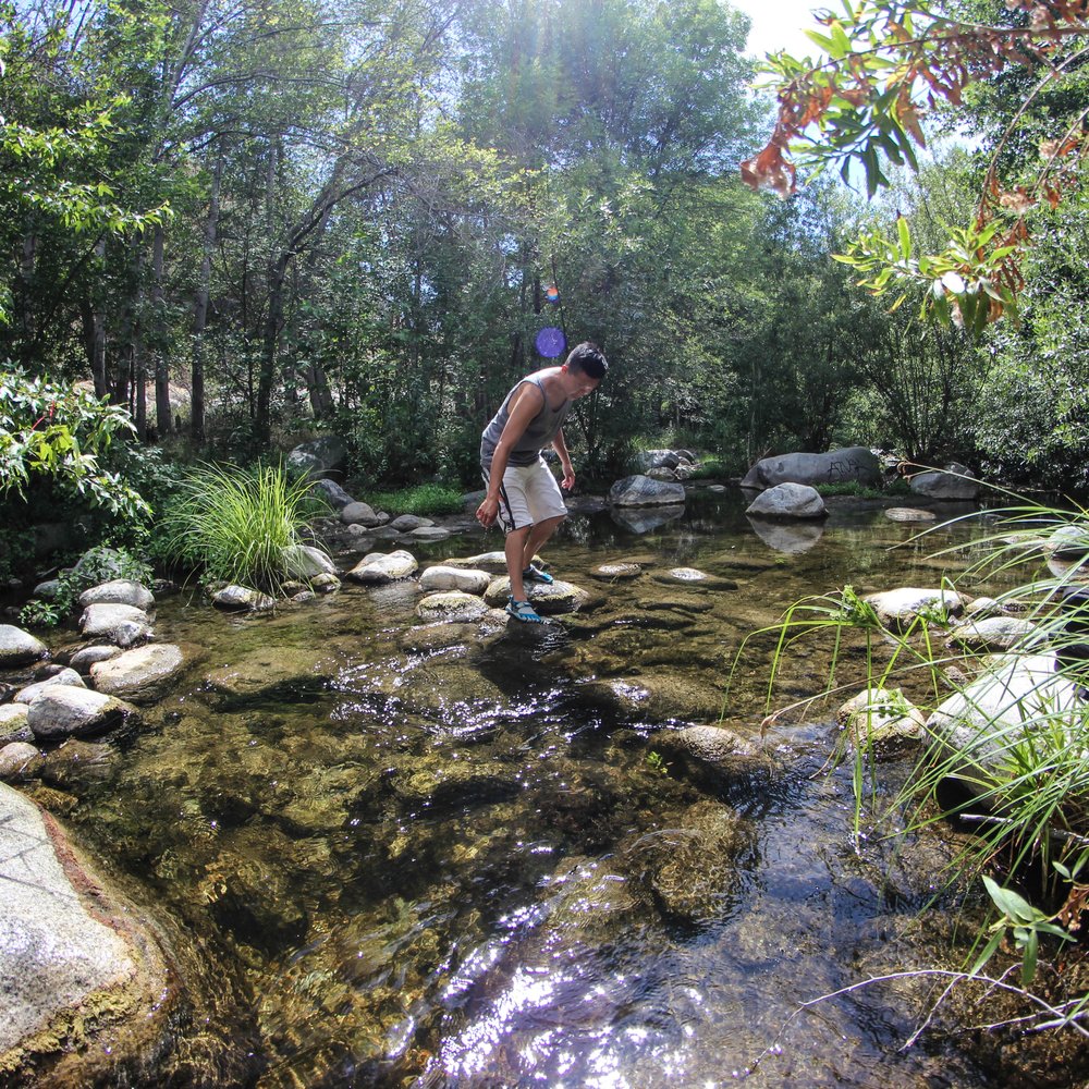
Not sure if it's park of the actual West Fork Trail but this review is for the path along the west fork river. Parking lot: 34.242286, -117.870182 Need adventure pass. The trail is paved asphalt. Since it was by a stream/river I was hoping to escape from the heat but it was hot with no shade. Only went 1-2 miles, spent some time in the "pool" and came back. Most of it had a muddy bottom so the swimming holes can get really murky Next time I think i'll come with a bike.


1 month ago

11 days ago

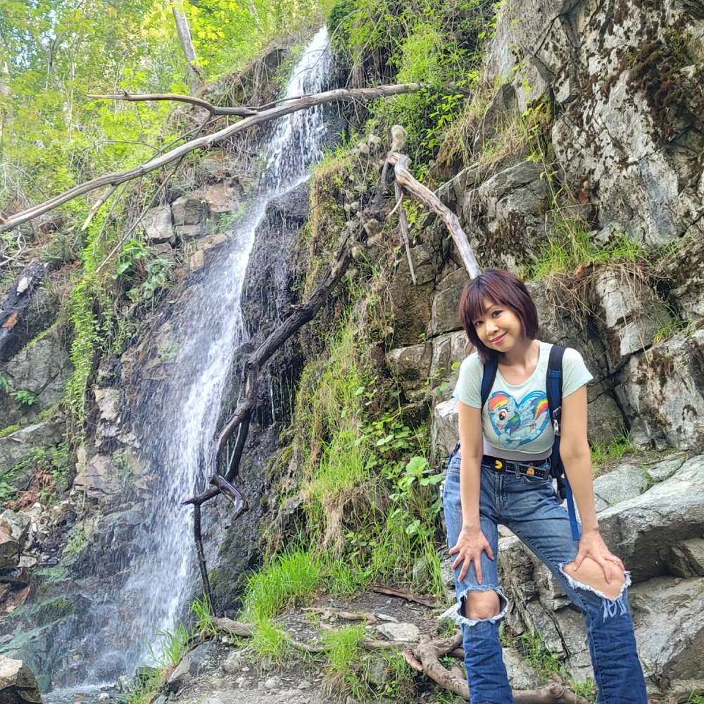
I'd like to tell you about this effortless 7-mile paved trail, lined with shady sycamore and babbling brooks, accessed easily by crossing a bridge. But first, parking. You'll need an Adventure Pass ($5) to park unless you have the annual pass ($30) or the America the Beautiful pass ($80). Feeling lucky? Park anyway & risk citation/fees ($130). On a weekday, the Angeles National Forest Headquarters had no passes. REI had none either, but the worker was beyond helpful, informing us various ways to track one down. Three stops & 1 hr later, we secured the last Day Pass at a gas station. Now back to the wide open trail, swiftly accessible by bridge, paved for bikers and hikers, flanked by the West Fork of the San Gabriel River. Hike all the way to the Cogswell Dam, see waterfalls along the way, or just while away the afternoon, feet submerged in stream. I hope my Day Pass difficulties was by chance & not due to a systemwide strain. In February, the new administration cut funding to the National Park Services, resulting in the firing 1,000 park employees. More than oil or gold, our National Parks are our nation's greatest treasures. Funding needs to be allocated so they can be properly tended and protected. If not, posterity will be cheated of their greatest inheritance. read more




5 months ago

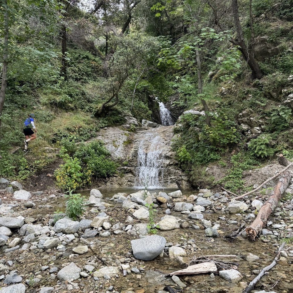
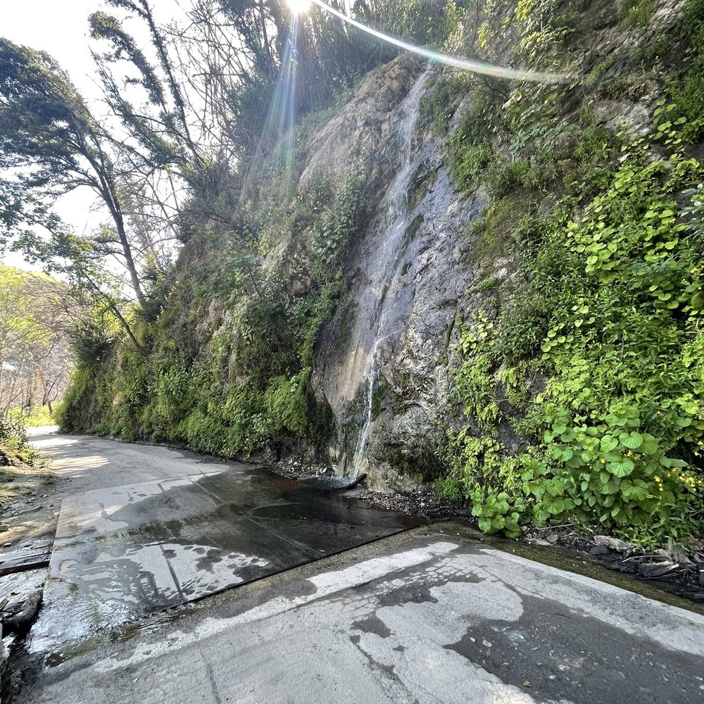
Pretty cool paved road trail that goes all the way to the Cogswell damn. We came here to ride our bikes, it was 15 miles round trip with almost 1,000 feet elevation gain. The elevation gain was gradual until about the last mile and a half to the damn. On the return back you can coast downhill, there was also about 3 small waterfalls along the trail. The area of the trail is location the national forest so you will need an adventure pass for parking. (You can get them at any Big 5 sporting good stores. $5 daily, & $35 for an annual pass.) Like other reviewers mentioned parking does fill up later in the day so try to arrive early to get a spot. read more



1 year ago

3 years ago
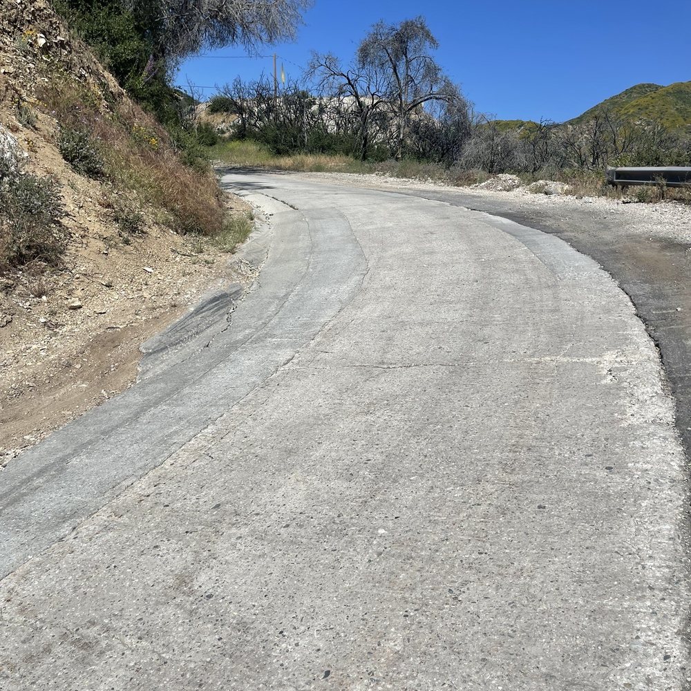
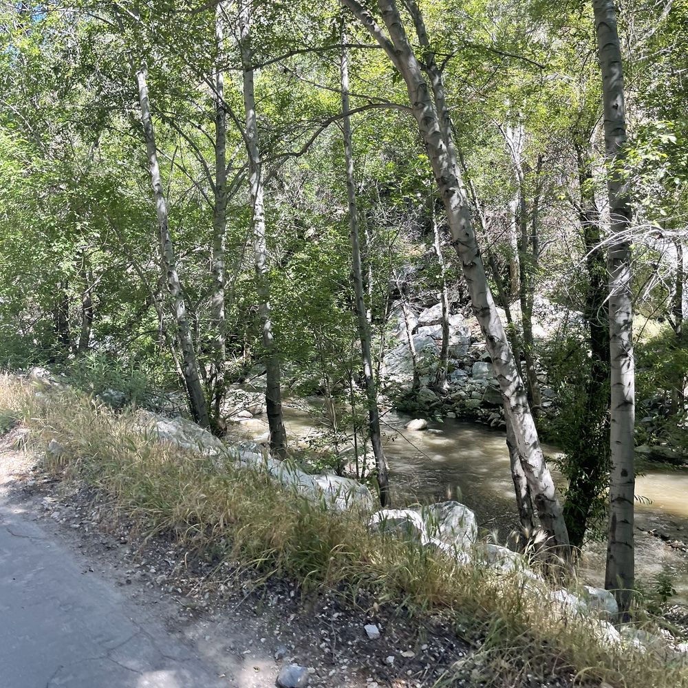
Beautiful isolated bike path / road to campsite. If you want a slightly bumpy and shaded ride to a view from top of a dam, this is it! Apparently only open on weekends to the public for now. The parking lot can get crowded on clear weekends, so I recommend arriving before 9. When I left at noon, there were cars circling to find parking. The road is about 6 miles of relative flat occasionally broken pavement that is best done with a bike with wider tires than a road bike. It's a blast on a gravel bike. The last 3/4 of mile is a moderate climb to the top of the dam, but with little shade it can be tough if you're not expecting it. The payoff is the ride back is all downhill! I recommend carrying a bell and be ready to announce yourself as there will be large groups of hikers and walkers enjoying the walk. read more


1 year ago

6 years ago
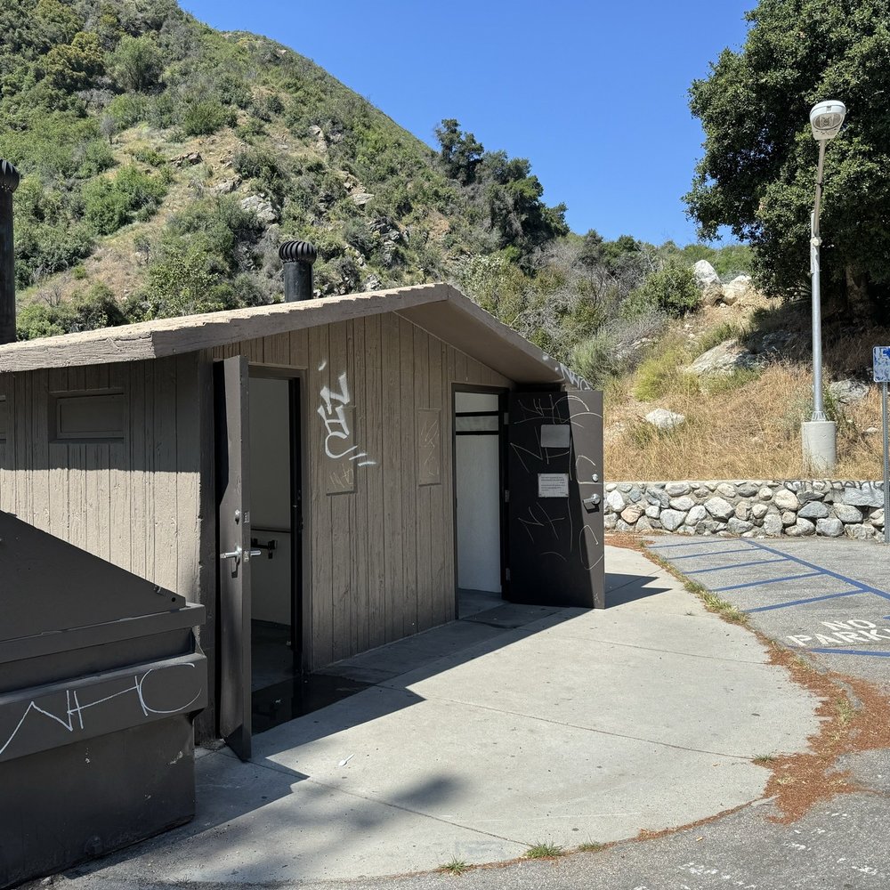
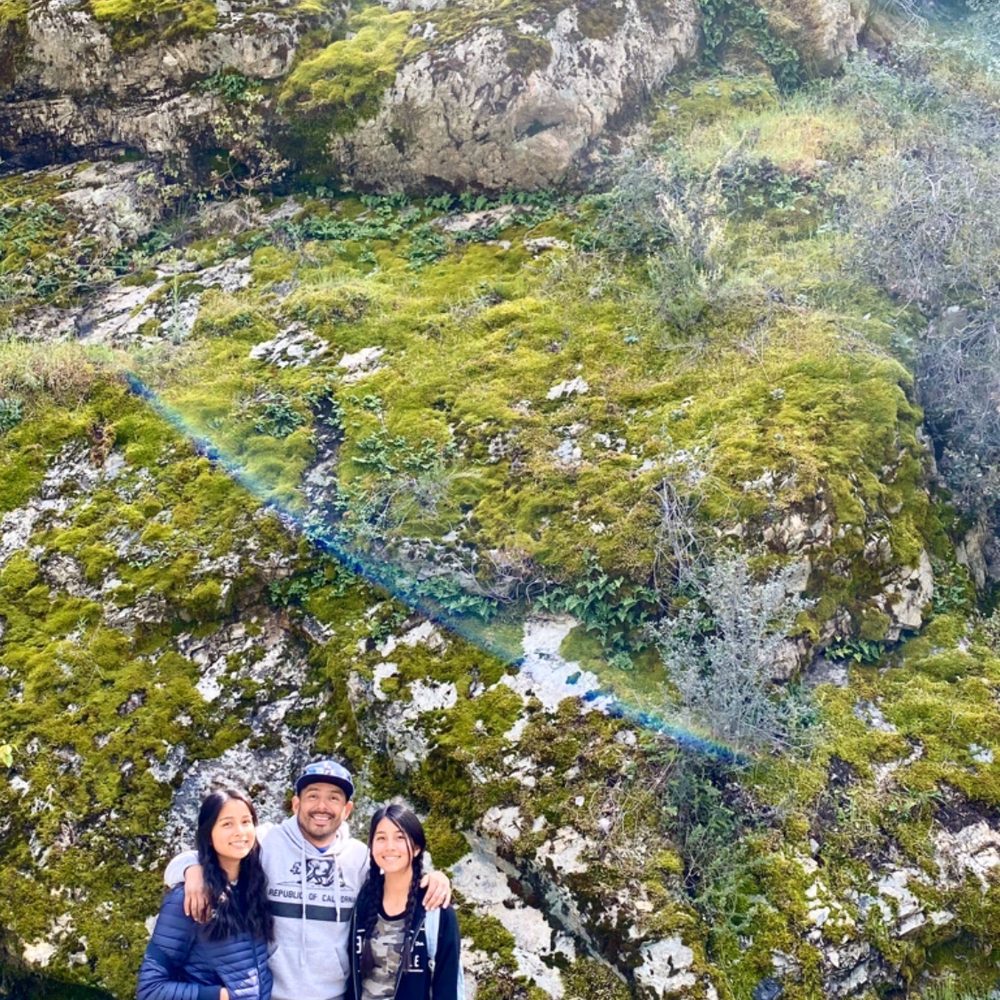
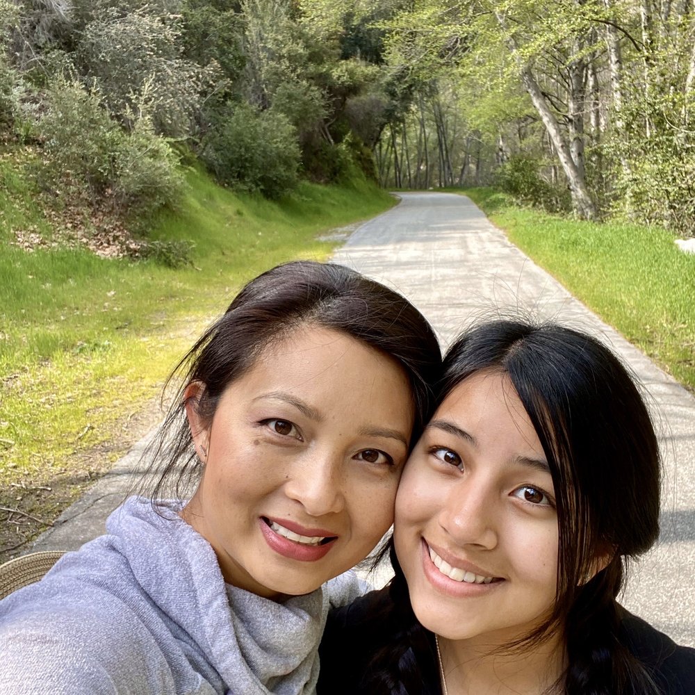
I guess we started maybe further up the trail. Sounds like some say it was a total of 16 miles. We heard it was about 5 in and 5 back from the parking lot/bridge where we entered the trail. Because of time and numerous stops to enjoy the scenery we only did a total of 4 miles. It was beautiful! We enjoyed hiking on the paved road and also along the rocks of the creek. Saw some fishermen (catch and release), mallard ducks, black crows, squirrels, and got to listen to some beautiful but shy birds along the entire hike. We got to see a mini waterfall, too. Would have loved to see what glory awaited at the end. Maybe next time. Annoyed by the graffiti in the parking lot and stupid pet owners who don't pick up their crap... Pls keep your crap in your own crappy neighborhood. read more




3 years ago
Had a fun time here! Really relaxing! Make sure to keep it clean! There's parking and u don't have to walk a lot to get to the river (: read more


9 years ago
Cool spot to bring the little ones. We had fun on our adventure. The water was hella cold but it was fun and refreshing after that hike. One note to the ugly people who like to tagged on rocks you are a bunch of losers. You take the beauty out this place by tagging nonsense on the rocks. Find a better and productive hobby assholes. How about volunteering and picking up the garbage other losers leave behind. Overall it's beautiful out there just wish humans were more respectful. read more

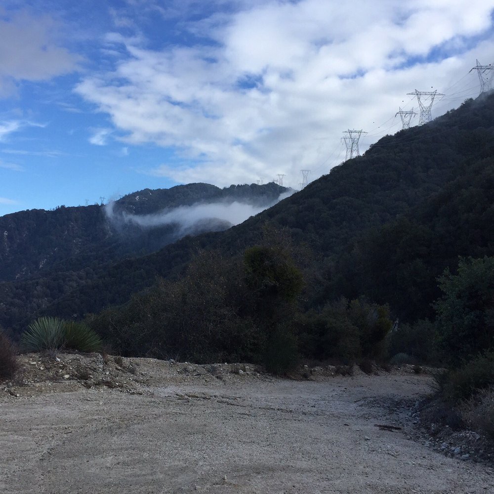
Great Paved Trail (7miles) that leads to a Dirt Road for another 5 miles and even up to mt wilson if you choose to go that far. Nice ample parking at the base. Great for bike riding. Even better with a CX bike or Dirt Bike. I love this place but clean up after yourselves please. read more




11 years ago
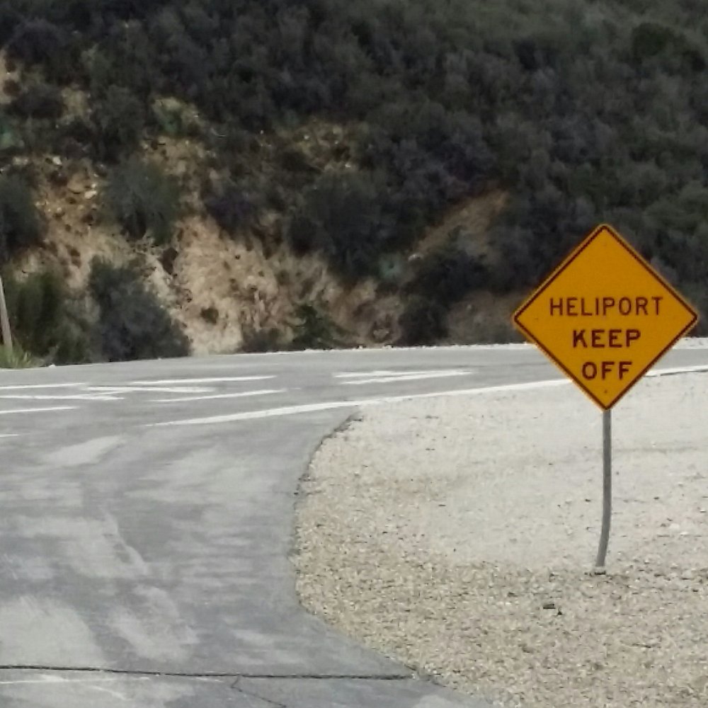
Bought a book that listed wrong parking lot long/lat directions. Another Yelp reviewer listed the correct directions 34.242286, -117.870182 * Bugs galore! Bring bug spray. * Portables only (gross) * 15 miles round trip (ends at Coswell Dam 7.5 miles) * Paved road: ADA compliant, lots of bicycle riders, few hikers, even fewer fishers, stollers, and wagons Close to the dam, there's a neighborhood, I'm guessing the city houses their employees here, with the local fire station. Thought it was deserted but heard a big dog barking as we were walking through. Good, easy mileage to add to my Fitbit, no inclines, no dirt/rocky roads, no sweat. Just easy. Bring bug spray. But if you're riding a bike, ride fast, no stops, no bugs will annoy you. read more



11 years ago
Not sure if it's park of the actual West Fork Trail but this review is for the path along the west fork river. Parking lot: 34.242286, -117.870182 Need adventure pass. The trail is paved asphalt. Since it was by a stream/river I was hoping to escape from the heat but it was hot with no shade. Only went 1-2 miles, spent some time in the "pool" and came back. Most of it had a muddy bottom so the swimming holes can get really murky Next time I think i'll come with a bike. read more


14 years ago

7 years ago

7 years ago

17 years ago

15 years ago

12 years ago
I love this trail for rollerblading, jogging or a bike ride. Unfortunately the first mile or so is nothing, but a disappointment. TRASH EVERYWHERE. I have on several occasions gone out just to clean the area. Bring my trash bags and gloves and it's just completely annoying that people have no regards to the land or the ecosystem. This place should be patrolled more often and people should be cited. No glass, no grills, no trash, no smoking is allowed. Yet I always pick up glass bottles, cigarette butts, blunt wraps, shoes, socks, diapers, clothes. PICK UP YOUR TRASH,YOU LAZY DISGUSTING S*** HEADS. Their are plenty trash cans surrounding the area!!!!!! read more


14 years ago

14 years ago

11 years ago
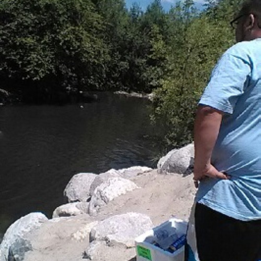
Been going to Azusa for a bit but just discover this beautiful gateway. Well time spent but honestly people need to pick up there damm trash smh :'( but overall beautiful place must check it out!! read more



10 years ago
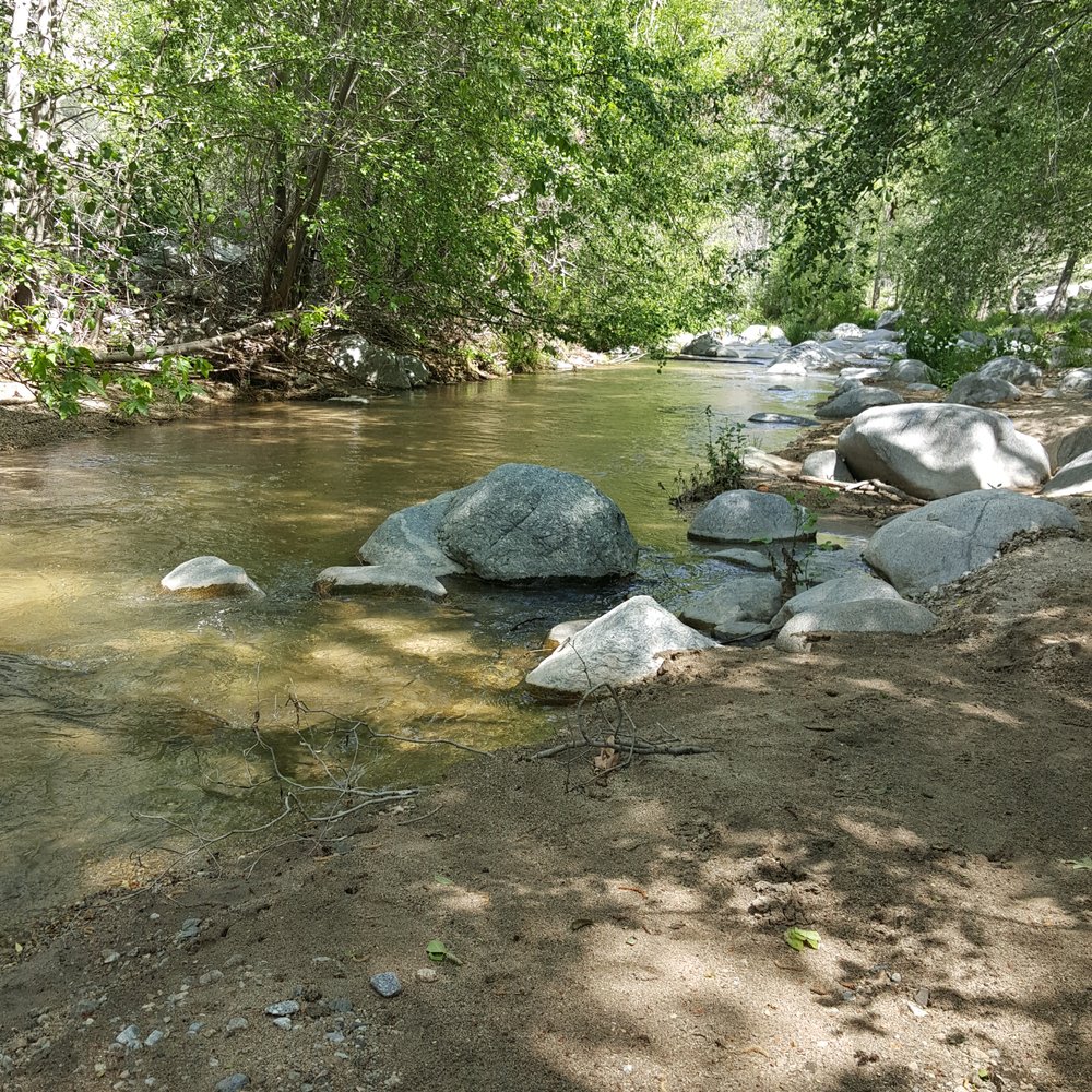
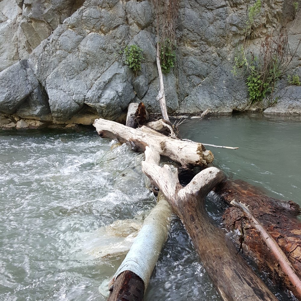
Nice place to come for a long walk alone ,family or love one! Is so peaceful and so relaxing read more


15 years ago

9 years ago

15 years ago

16 years ago

10 years ago
9 years ago
More info about West Fork Trail
Azusa Ave
West Fork Service Road off Highway 39
Azusa, CA 91702
Directions
Hours
Outdoor Amenities
Ask the Community - West Fork Trail
Review Highlights - West Fork Trail
You might also consider



























Why does Yelp recommend reviews?
3 reviews that are not currently recommended
The reviews below are not factored into the business's overall star rating.

5 months ago

14 years ago
5 years ago
West Fork Trail - hiking - Updated August 2026
Best of Azusa
People found West Fork Trail by searching for…
Trending Searches in Azusa, CA
Bike Shop near West Fork Trail
Cliff Jumping near West Fork Trail
Consignment Shops near West Fork Trail
Cruising Spots near West Fork Trail
Dog Friendly Things To Do near West Fork Trail
Ear Piercing near West Fork Trail
Eyebrow Threading near West Fork Trail
Flower Fields near West Fork Trail
Hair Braiding near West Fork Trail
Kids Haircut near West Fork Trail
Mini Golf near West Fork Trail
Permanent Makeup near West Fork Trail
Picnic Areas near West Fork Trail
Preschools near West Fork Trail
Public Golf Courses near West Fork Trail
Rock Quarry near West Fork Trail
Running Trails near West Fork Trail
Scenic Night View near West Fork Trail
Scenic Overlook near West Fork Trail
Sunrise View near West Fork Trail
Swimming Holes near West Fork Trail
Trading Card Shops near West Fork Trail
Used Furniture Stores near West Fork Trail
Browse Articles
Browse Nearby
Browse Brands
Related Searches in Azusa, CA
Best Dog Hiking Trails Around Azusa, California
Best Fishing Locations and Guides in Azusa, California
Best Nature Trails for Hiking in Azusa, California
Best Places for Horseback Riding in Azusa, California
Check Out Off Road Trails in Azusa, California
Discover Dog Friendly Trails to Explore in Azusa, California
Discover Easy Hiking Trails Near Azusa, California
Discover Kid Friendly Hiking Trails in Azusa, California
Discover Popular Bike Trails in Azusa, California
Discover Scenic Mountain Bike Trails Near Azusa, California
Discover Walking Parks in Azusa, California Near You
Discover a Hiking Trail in Azusa, California
Discover the Best Night Hike Trails in Azusa, California
Dog-Friendly Hikes With Dogs in Azusa, California
Enjoy Camping Adventures Around Azusa, California
Enjoy Kayaking Adventures in Azusa, California
Enjoy Off Leash Dog Hikes in Azusa, California
Enjoy Scenic Places to Walk in Azusa, California
Enjoy Tent Camping Spots Around Azusa, California
Enjoy a Beautiful Waterfall Hike in Azusa, California
Enjoy the Best Walking Path in Azusa, California
Enjoy the Best Walking Trails in Azusa, California
Explore Beautiful Parks and Green Spaces in Azusa, California
Explore Easy Hikes Perfect for All in Azusa, California
Explore Fun Activities to Do in Azusa, California
Explore Popular Campgrounds Near Azusa, California
Explore Popular Dog Walking Trails in Azusa, California
Explore Top Dog Parks in Azusa, California Near You
Family Friendly Hiking With Kids in Azusa, California
Find Beautiful Views in Azusa, California
Find Parks and Recreation Activities in Azusa, California
Find Top Dog Friendly Parks to Visit in Azusa, California
Find Top-Rated Waterfalls in Azusa, California Now
Find the Best Parks for Picnics in Azusa, California
Hiking Trails With Waterfalls in Azusa, California
Off Leash Dog Hiking Trails in Azusa, California
Popular Outdoor Activities to Try in Azusa, California
Popular Picnic Spots to Visit in Azusa, California
Popular Waterfall Hiking Trails in Azusa, California
Safe River Swimming Areas in Azusa, California
Safe and Fun Parks for Kids in Azusa, California
Top Hiking Trails to Explore in Azusa, California
Top Playgrounds for Kids to Enjoy in Azusa, California
Top Running Trails to Explore in Azusa, California
Top Swimming Lakes to Enjoy in Azusa, California
Top Swimming Spots and Pools in Azusa, California
Top-Rated Camping Sites in Azusa, California


