Pine Valley Recreation Area Photos


More like Pine Valley Recreation Area
Recommended Reviews - Pine Valley Recreation Area
Start your review...



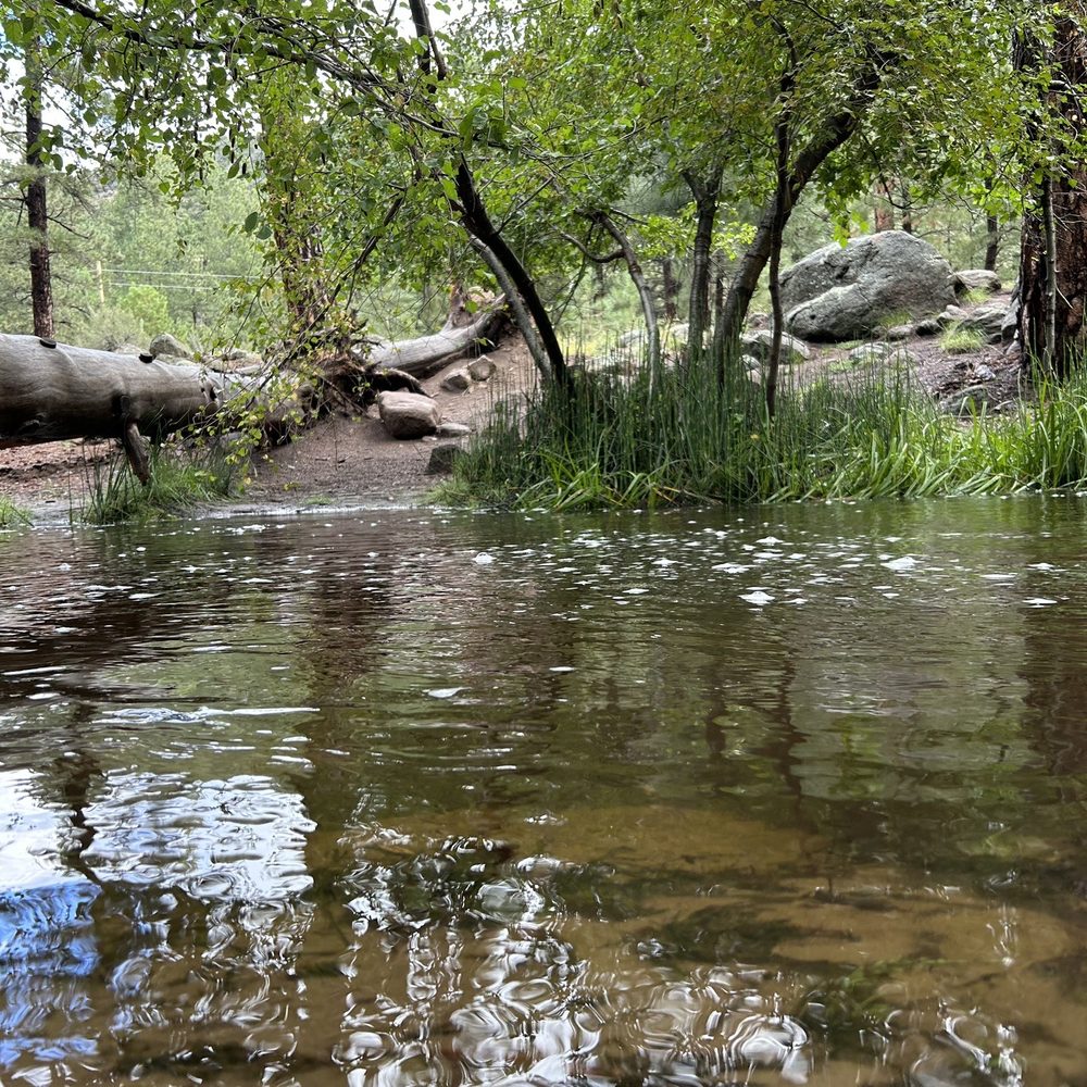
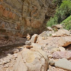
Just absolutely breathtaking out here. Such a wonderful difference from the other nearby parks which are more like dry rocks. So much greenery and a gorgeous river that runs through. Perfect for a walk in some cooler weather on the hotter summer days. Put your feet in the freezing cold river for a refresher. It didn't look very big to me from the map view but it's a good size to drive around before picking a good spot. Parking is cash only put in an envelope outside the park. Watch out for snakes! If you are in the area and are unsure of going, this is your sign saying to go. I almost didn't and now that I know what it's like out there, I would have regretted it sooo bad if I didn't go. It's truly so beautiful and peaceful. read more

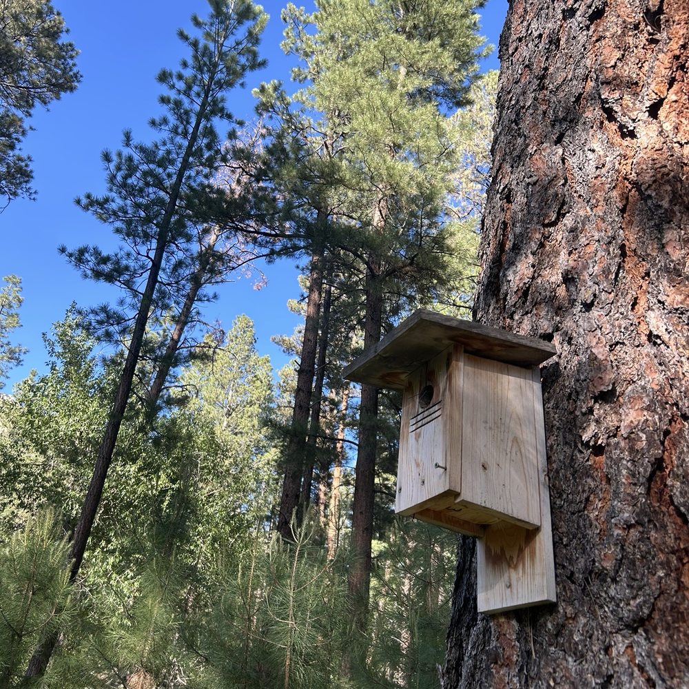


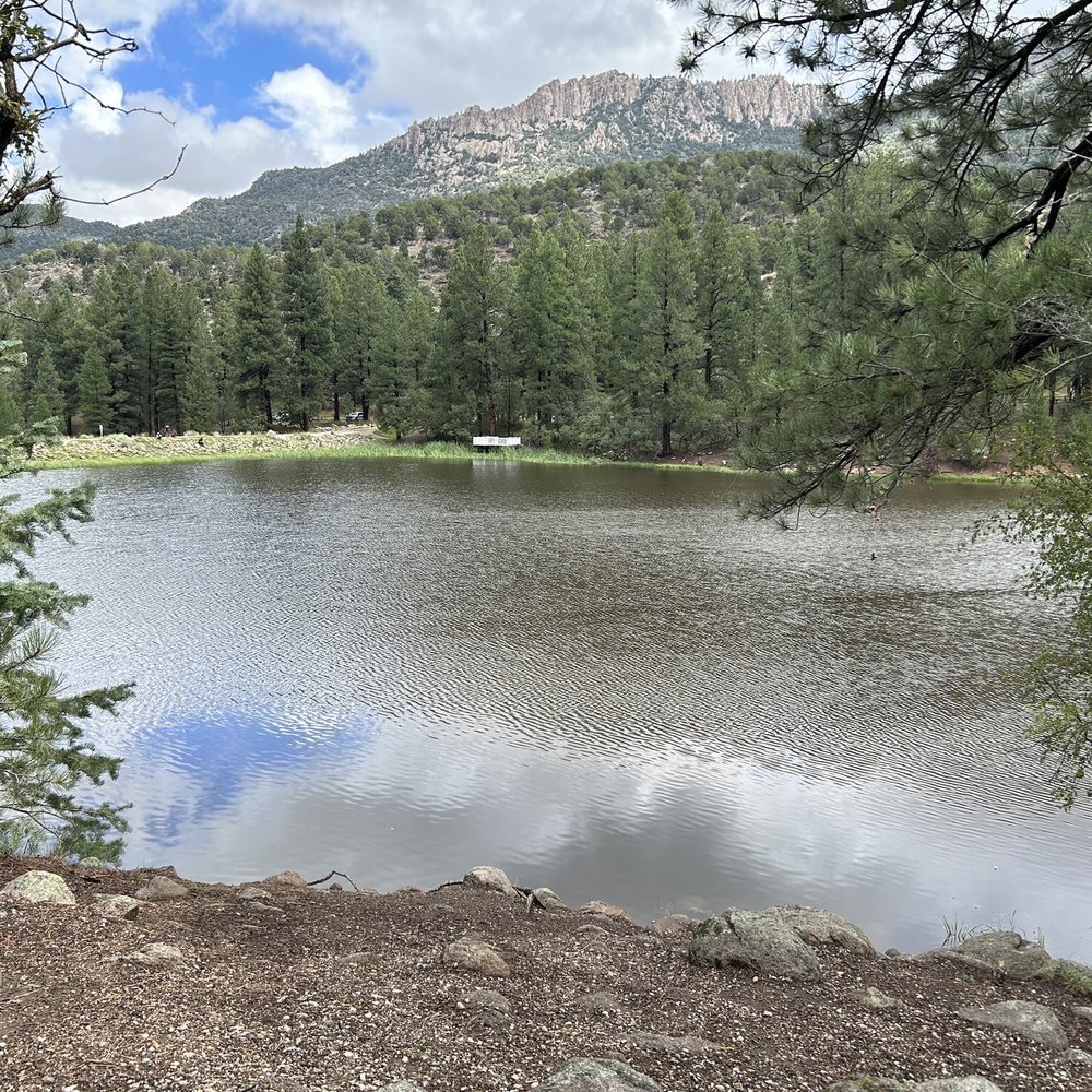
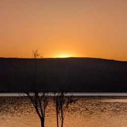
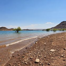
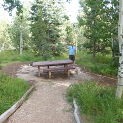
Not too far outside of the St. George area, you'll find an entirely different terrain-no longer the red rocks and dirt, but tall, lush trees, a stream and a respectable sized reservoir. This is Pine Valley-located in Dixie National Forest (yes, there's a fee-$8 per vehicle). There are picnic areas and space for fishing. At the guard station, there's a handwritten sign telling visitors not to be a "fishnicker"....I inquired about this new word and learned that it's a person who comes to fish but parks their vehicle in a picnic spot, making it unavailable for people who want to picnic there. Makes sense-if you're here to fish, park in the fishing area and leave the picnic tables to people who will use them. There are several walking/hiking trails and they are beautiful! We did the Santa Clara River Walkway which was an easy walk through the trees with pretty views. There's plenty of available parking at the trailhead and clean bathrooms before you start your hike. read more




Definitely our favorite spot to get away from the 100 degree weather in Vegas during summer. It's about 2 1/2 hour drive from Vegas so it's not that far of a drive. Great place to picnic and grill with family. We usually bring our portable gas stove and do a little bit of cooking while my boyfriend enjoys fishing. read more


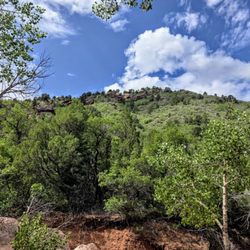
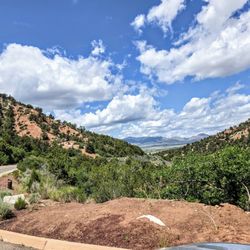
The first time I heard about this place is through a friend. We finally made it here yesterday. Pine Valley Recreation Area is located in Pine Valley, Utah. The valley is on a higher elevation so it's provides a nice escape from the heat of the southern Utah desert. The scenery is spectacular. Very pristine with abundance of nature and wildlife. Activities includes fishing camping, hiking and more. You will see beautiful forest of ponderosa pine, oak, juniper, Mountain mahogany and sagebrush surrounds the landscape. Hiking and horse trails vary in length from 2 to 35 miles. Some trails allow mountain biking. Shoreline fishing for rainbow trout is a popular activity on the lake. We had a picnic, make sure you bring bug spray as well as water and snacks and other essentials. We did not see anyone at the entrance so we didn't pay for day use. We saw few campers. The restrooms are clean and wifi service is spotty. Great place for nature lovers. read more


3 years ago

6 years ago

5 years ago
More info about Pine Valley Recreation Area
E Main St
Pine Valley, UT 84781
Directions
Visit Website
https://www.fs.usda.gov/recarea/dixie/recreation/camping-cabins/recarea/?recid=71836&actid=101
Hours
Outdoor Amenities
Other Amenities
Ask the Community - Pine Valley Recreation Area










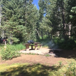






Pine Valley Recreation Area - campgrounds - Updated August 2026
Best of Pine Valley
People found Pine Valley Recreation Area by searching for…
Things to Do in Pine Valley, UT
Swimming Lakes in Pine Valley, UT
Hiking Trails in Pine Valley, UT
Places to Swim in Pine Valley, UT
River Swimming in Pine Valley, UT
Fishing Spots in Pine Valley, UT
Public Pools in Pine Valley, UT
Communal Shower in Pine Valley, UT
Fishing Lake in Pine Valley, UT
Community Centers in Pine Valley, UT
Camping Sites in Pine Valley, UT
Tent Camping in Pine Valley, UT
Picnic Areas in Pine Valley, UT
Public Shower in Pine Valley, UT
Walking Trails in Pine Valley, UT
Trout Fishing in Pine Valley, UT
Open Gym Basketball Court in Pine Valley, UT
Trending Searches in Pine Valley, UT
Browse Articles
Browse Nearby
BEST of Pine Valley, Utah Hotels near Pine Valley Recreation Area
BEST of Pine Valley, Utah Lakes near Pine Valley Recreation Area
BEST of Pine Valley, Utah Coffee near Pine Valley Recreation Area
BEST of Pine Valley, Utah Swimming Holes near Pine Valley Recreation Area
BEST of Pine Valley, Utah Things to Do near Pine Valley Recreation Area
BEST of Pine Valley, Utah Restaurants near Pine Valley Recreation Area
BEST of Pine Valley, Utah Dinner near Pine Valley Recreation Area
Browse Brands
Related Cost Guides
Related Searches in Pine Valley, UT
Affordable Lodging Options in Pine Valley, Utah
Affordable Long Term RV Parking in Pine Valley, Utah
Best Fishing Locations and Guides in Pine Valley, Utah
Best Lookout Points to Visit in Pine Valley, Utah
Best Nature Trails for Hiking in Pine Valley, Utah
Best Places for Horseback Riding in Pine Valley, Utah
Best Waterfalls and Swimming Holes in Pine Valley, Utah
Browse Top Hotels in Pine Valley, Utah for Your Stay
Check Out Off Road Trails in Pine Valley, Utah
Discover Dog Friendly Trails to Explore in Pine Valley, Utah
Discover Free Campgrounds in Pine Valley, Utah Area
Discover Fun Recreation Activities in Pine Valley, Utah
Discover Fun Toddler Parks in Pine Valley, Utah for Your Little One
Discover Outdoor Gym Facilities in Pine Valley, Utah
Discover Popular Bike Trails in Pine Valley, Utah
Discover Popular Photo Spots in Pine Valley, Utah
Discover Scenic Beach Camping Sites in Pine Valley, Utah
Discover the Best Fishing Lake in Pine Valley, Utah
Discover the Best Night Hike Trails in Pine Valley, Utah
Discover the Best Running Track in Pine Valley, Utah
Enjoy Hiking Adventures in Pine Valley, Utah
Enjoy Indoor Lap Pool Facilities in Pine Valley, Utah
Enjoy Off Leash Dog Hikes in Pine Valley, Utah
Enjoy Tent Camping Spots Around Pine Valley, Utah
Enjoy the Best Walking Trails in Pine Valley, Utah
Experience Stunning Sunset Views in Pine Valley, Utah
Explore Beautiful Parks and Green Spaces in Pine Valley, Utah
Explore Bike Rentals Throughout Pine Valley, Utah
Explore Community Centers Available in Pine Valley, Utah
Explore Easy Hikes Perfect for All in Pine Valley, Utah
Explore Free Picnic Areas Around Pine Valley, Utah
Explore Gyms With Pool Access in Pine Valley, Utah
Explore Popular Campgrounds Near Pine Valley, Utah
Explore Popular RV Parks Around Pine Valley, Utah
Explore Popular Scenic Views Near Pine Valley, Utah
Explore Popular State Park Destinations in Pine Valley, Utah
Explore Scenic Lakes to Visit in Pine Valley, Utah
Explore Secret Spots Worth Visiting in Pine Valley, Utah
Explore Top Gyms in Pine Valley, Utah Now
Explore Volleyball Courts Available in Pine Valley, Utah
Explore the Best Swimming Holes Around Pine Valley, Utah
Find Cozy Camping Cabins in Pine Valley, Utah
Find Parks and Recreation Activities in Pine Valley, Utah
Find Top-Rated Waterfalls in Pine Valley, Utah Now
Find Ymca Pool Facilities and Hours in Pine Valley, Utah
Find a Basketball Gym Near You in Pine Valley, Utah
Find the Best RV Park Near Pine Valley, Utah
Find the Best State Parks Camping Spots in Pine Valley, Utah


