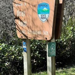
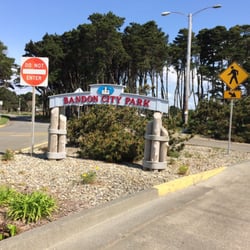
The spelling of this beach, as shown in the title created by YELP, is not correct. Also, the…read morespelling of this beach, as shown on GOOGLE maps, is not correct. The correct spelling is MEYERS BEACH (please see my photograph of the big sign next to this beach). Strangely enough, the YELP website will not accept any posts unless the name of the place matches the spelling on GOOGLE maps. And so, in order to post this review, I am forced to accept the incorrect spelling, "Myers." Let me put this another way. If I go to YELP, and try to search for my review using the correct spelling, "MEYERS BEACH," YELP will not cooperate. But if I go to YELP and type the incorrect spelling (Myers Creek Beach), then YELP will coopreate.
MEYERS BEACH NEXT TO ROUTE 101. Our road trip to Gold Beach included taking the trail through Lady Bird Grove, taking the Skunk Cabbage Trail at Redwoods National Park, taking the trail up and down Trinidad Head (a sea stack in Trinidad), viewing Battery Point Lighthouse in Crescent City. At Gold Beach, we stayed at Pacific Reef motel (see my YELP review of this motel). Early the next day, we returned to Route 101 and headed back home. As part of this return trip, we took Skunk Cabbage Trail (see my YELP review of this trail) and then stopped at nearby Meyers Beach.
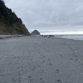
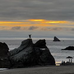
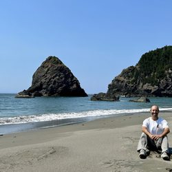
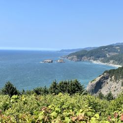
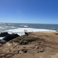
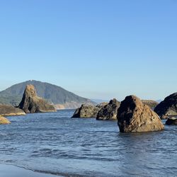
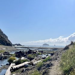
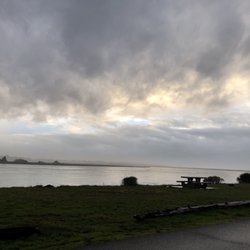
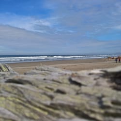
PHOTOGRAPHS OF MEYERS BEACH. My photos show, ( 1 ) MEYERS BEACH sign standing next to Route 101; ( 2 ) View of distant sea stacks from the little trail next to Route 101; ( 3 ) Close up view of three small sea stacks. I took this photo while standing on the wet sand; ( 4 ) Close-up view of four sea stacks. I took this photo while standing in the water. My goal was to get a photograph of the interesting pattern produced when two separate ocean waves (each approaching from a different side of one sea stack) met at the side of the sea stack where I was standing, and crashing into each other; ( 5 ) Panoramic view of Meyers Beach. Two birds are at the center of the photo. It is early morning, and the entire area is covered with fog.
ORIGIN OF SEA STACKS. Sea stacks are formed by erosion of headlands (peninsulas) at the edge of the Pacific Ocean. As waves approach the shore, they are bent so that, instead of moving towards the shore, they move parallel to the shore. As a result of the waves moving parallel to the shore the crash into the sides of the peninsula (instead of into the very end of the peninsula). As a result of this crashing, the sides are completely eroded away, resulting in the free-standing tip of the peninsula. This free-standing tip is the sea stack. Regarding the subject of physics of waves, including light waves and ocean waves, the word "refraction" refers to situations where the wave is bent. Wherever you find a sea stack, it is likely that a ridge projected as a headland only a few thousand years ago (see, Flynn 2003).
Sea stacks have particular advantages for use as a tool for measuring erosion of the mainland, where the result of removal is disappearance of beaches and of chunks of cliffs near the seashore. These advantages are that sea stacks are tall and thin (making it easy to use them as a distinct reference point), and they are widely distributed parallel to the coast. In addition, the age of sea stacks can be estimated by their distance from the coast (see, McPhillips and Scharer 2021). Large arches in the ocean originated from sea stacks, where erosion of the sea stack created a tunnel (see, page 33 of Lund). Using a particular sea stack as a stable marker, it has been determined that erosion of Oregon beaches is about one foot per year (see, page 34 of Dicken). Some sea stacks are connected to a sea cliff by a thin strip of sand. This strip of sand is called a, "tombolo" (see, Ehlen). Squaw Island near Sunset Bay is a sea stack with a tombolo. In addition to sea stacks, off-shore geological formations include, skerries, marine benches, growlers, and boilers (see, Finkl and Makowski). A skerry, for example, is a very short sea stack that is too small for human habitation.
REFERENCES ( 1 ) Kathryn Flynn (Aug. 2003) The Dynamic Oregon Coast: Geologic Features and Where to See them. Geological Society of America and the USDA Forest Service; ( 2 ) Samuel Dicken (Nov. 1961) ) Some Recent Physical Changes of the Oregon Coast. See, pages 8, 26, 34, and 38, of this 76-page article; ( 3 ) Judi Ehlen (April 1967) Geology of State Parks Near Cape Arago. The Ore Bin. Vol. 29, No. 4 (pages 61-84); ( 4 ) Ernest Lund (Feb. 1971) Coastal Landforms Between Florence and Yachats, Oregon. Vol. 33, No. 2 (28 pages); ( 5 ) McPhillips and Scharer (Sept. 2021) Survey of Fragile Geologic Features and their Quasi-Static Earthquake Ground-Motion Constraints, Southern Oregon. Bulletin of the Seismological Society of America; ( 6 ) Finkl and Makowski (2021) Along shore classificaiton ad morphometric analysis of coastal belts: The State of Oregon. J. Coastal Research. 37:238-27