Bayview Trailhead-Bayview Campground Photos


You might also consider


More like Bayview Trailhead-Bayview Campground
Recommended Reviews - Bayview Trailhead-Bayview Campground
Start your review...


Reviews With Photos


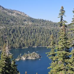
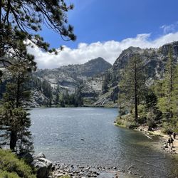
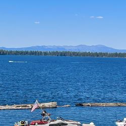
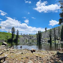
A moderate hike with epic views: Granite Lake off the Bayview Trailhead. First and foremost, I highly recommend this hike purely based on the beautiful rewards once you get to the top. It's about 2.5 miles to the lake and 1 mile of that is pretty much straight up the mountain side, so be prepared to use those leg muscles. The vast blue waters of Emerald Bay and Lake Tahoe greet you halfway up and then the trail gets easier. It's about a 3 hour round trip. Granite Lake was a great temperature for swimming and there are plenty of rocks to jump off. Hike to the next little hilltop to the left of the lake and enjoy the sweeping views of Lake Tahoe, Cascade Lake, Fallen Leaf Lake and beyond! Breathtaking! Many people hike in and camp or continue on to Maggie's Peak. You can park at the trailhead just past the campgrounds if you have good parking Karma or you can park in the lower lot which is a quick 1/4 mile from the trailhead. The trailhead splits: left for the falls and right for Granite Lake. You'll need to fill out a simple permit to hike within a Desolation Wilderness, but it's free. If you're looking for exercise, fresh air, beautiful views and a killer swimming hole.....you'll like this hike.


The Bayview trailhead is one of the many doors into the beautiful desolation wilderness. You have the option to go left to cascade lake/falls or right up to Maggie's peaks and deeper into the back country. Maggie's is a relatively easy peak to hike. It's short and not too steep. It's got views at the top that are as beautiful as the tallac hike, but not as strenuous. Back in October I did a memorial sunrise hike up Maggie's. I met a bunch of strangers at 2 am to hike in honor of a lost love one. Watching the sunrise high in the sky had to be one of the most epic experiences and I was thankful to be able to honor Sara. On the way up Maggie's there's a beautiful lake (I think it's called granite lake). There is a campground right at the trailhead but I'm apprehensive to stay there due to the amount of traffic that goes by .. when I camp, I want to be alone ! Ha! The trail gets busy , like most in Tahoe. Go early and have fun exploring. Pack it in , pack it out.


Awesome hike, about a 3 mile round trip. I thought it was pretty difficult but I was carrying a 30lb baby with me. Without the baby it would probably be fairly easy. Pretty consistent incline the whole way. Incredible views!
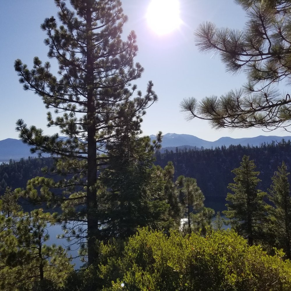
The parking for the trailhead is located at the rear of the Bayview Campground. There is limited free parking for cars and horse trailers. There's also an outhouse and trashcans at the trailhead parking lot. A hiking permit is required for Desolation Wilderness. No permit is required for the Cascade Falls Trail. Free permits are available at the trailhead. You might want to have a pen handy. We chose to hike to Cascade Falls. This was a great hike with some elevation gain. It's an out and back. We got on the trail by 9am. We only ran into other hikers on our return. There's not much shade on the trail so wear a hat or be sure to apply sunscreen. We hiked until the falls. The trail was a bit confusing, but fortunately there was a trail marker right before the falls. In October, the waterfall didn't have much water flow. Fortunately, the view of Cascade Lake with Lake Tahoe in the background was picturesque.
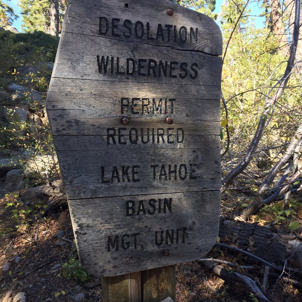

Wonderful trailhead with access to Cascade Falls trail, Maggie's Peak trail, and desolation wilderness. All hikes are good exercise and moderate to hard climbs. No easy stuff over here! Be warned though: parking is very limited for day hikers, and the area is packed in summer. So arrive early.


Bay View Campground is very convenient as it's literally across the road from Emerald Bay & next to Cascade Lake. Cheapest campground around if you're on a budget. Port-a-potties are clean enough as much as I hate using them. No shower & no taps or water at this campground. Walking distance to some of the most beautiful lakes & bays I've ever seen. My favorite & best memory: We built a raft out of old logs on the beach & went over to the little island in the middle of Emerald Bay. Definitely not for the faint hearted, must love cold water & long swims haha!


Awesome place to do a hike and getaway from the casinos and second hand smoke. Parking is limited at the trailhead, but there is plenty of parking along 89. Hike is fairly easy and would be good for kids or somebody not looking for a full blown overnight adventure. Mostly single track and some boulders you have to climb over, but you're rewarded with some epic views of Emerald Bay and Lake Tahoe. I'd plan for roughly 2.5 to 3 hours out and back so you can explore while at Cascade Falls and take some selfies! Also, there's plenty of port o potties near the entrance.
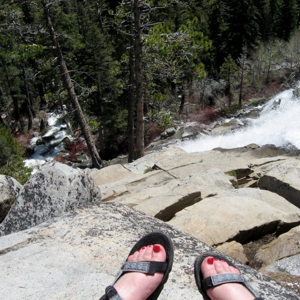

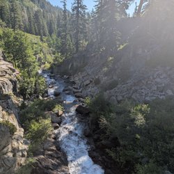
This review is for the Cascade Falls Trail, whose trailhead is at the back of Bayview Campground. (While I didn't use the campground itself, it seemed quite unappealing...very cramped!) This trail is short and fairly easy. The only full views you are going to get of Cascade Falls are limited bends in the trail, so appreciate them where you can! The trail ends at the top of the falls, and you can easily explore around the granite to find one of many gorgeous little resting spots...this is a fantastic place for a picnic!


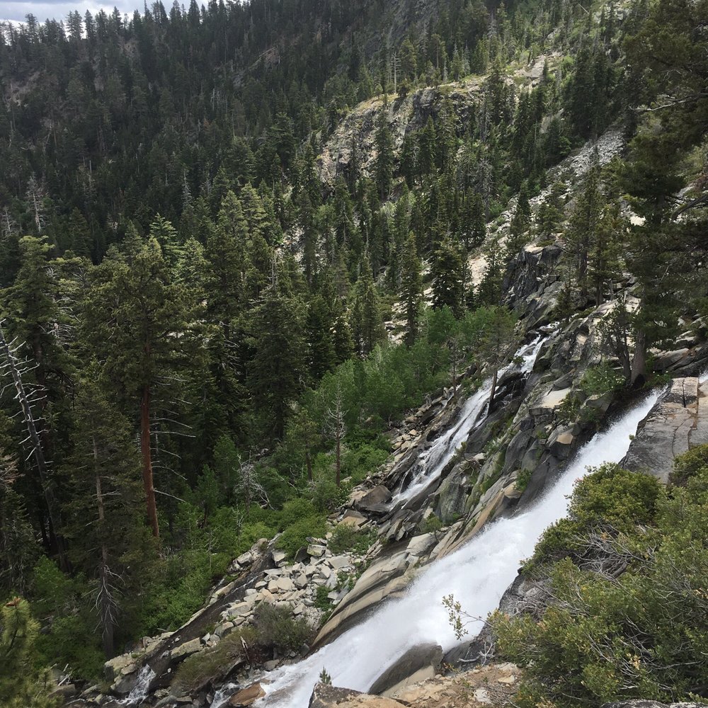
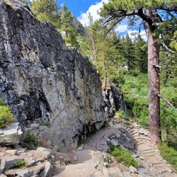
Located across from Inspiration point, this trailhead can take you to Desolation Wilderness or the falls. Go to the left to get to the falls. The trail is fairly easy to navigate with a few portions with steep granite steps. It's about a 1 mile hike, with views of Cascade Lake and eventually white cloud falls. Parking can be hard, but there is parking on the road as well as in the lot. On Memorial Day weekend, the trail was fairly crowded.

3 months ago
This was definitely not on my plan to check out, but the universe let us here and we decided to do the .6 miles to the top where we were greeted with the most stunning and beautiful view. The rangers working at the start of the hike were extremely kind and knowledgeable. I enjoyed learning about the two hikes and what to expect from each. I am a newbie so the hike I went on was so challenging. I found myself huffing and puffing, taking several breaks and turning very red. Once I made it to the top, it was totally worth it and coming back down was so much easier than going up! I would do it again and I highly recommend you do this too! read more


1 year ago

5 years ago
This is no longer a campground. It is a day use area. The day use area is run by California Land Management under the USFS Guidance. There is no over night camping but for those who come to into the backcountry Fees 1) $5.00 a half hour 2) $ 10.00 a day Back country hikers ( over night cars) Rules of the back country ( overnight parking) First night is $ 10.00 and all additional nights are free ---Bears are active here, make no mistake about that and what you leave in your car Day use people The falls trail is about 1 mile in and 1 mile out Bayview trail is up hill 1.5 to Granit Lake and 2 to Maggie's Peek Do bring water and real map, your phone is limited tool and you cannot triangulate with it Remember the world is in 3d and your phone is 2D this not good outcome for you if you rely on that device Reminders to the Suburbs 1) High Altitude, you drink more water 2) If does not feel hot, well it is and your cooking from the sun wear clothing 3) Never underestimate the storms here, when they come in they come fast hard and true ( be prepared with clothing) 4) Bears spend 60% of their lives in trees, look above you! 5) Keep Control of your Dogs that is to be wise of your animal 6) Feel, feel for pressure drops and feel the outward and sense the land, with your whole being not just your eyes 7) Watch People Driving in the Camp use are, Especially with Children, people are on their phones and not looking On Leaving 1) Take a breath and do not rush 2) Traffic here is intense 3) Do not allow tail gators to push you, let them make the move till you get to a place to allow the SPEED RACERS to get down the line Selfie People 10 to 50 foot fall onto grant = death Pay attention and think All in all be here now as J Muir said Hiking is military term; I do not hike a Saunter read more


9 years ago
A moderate hike with epic views: Granite Lake off the Bayview Trailhead. First and foremost, I highly recommend this hike purely based on the beautiful rewards once you get to the top. It's about 2.5 miles to the lake and 1 mile of that is pretty much straight up the mountain side, so be prepared to use those leg muscles. The vast blue waters of Emerald Bay and Lake Tahoe greet you halfway up and then the trail gets easier. It's about a 3 hour round trip. Granite Lake was a great temperature for swimming and there are plenty of rocks to jump off. Hike to the next little hilltop to the left of the lake and enjoy the sweeping views of Lake Tahoe, Cascade Lake, Fallen Leaf Lake and beyond! Breathtaking! Many people hike in and camp or continue on to Maggie's Peak. You can park at the trailhead just past the campgrounds if you have good parking Karma or you can park in the lower lot which is a quick 1/4 mile from the trailhead. The trailhead splits: left for the falls and right for Granite Lake. You'll need to fill out a simple permit to hike within a Desolation Wilderness, but it's free. If you're looking for exercise, fresh air, beautiful views and a killer swimming hole.....you'll like this hike. read more
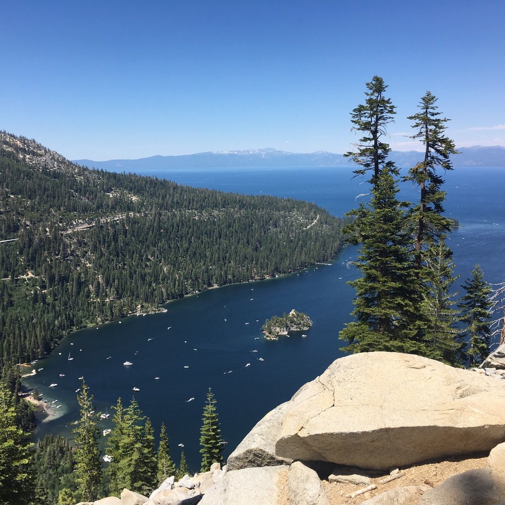


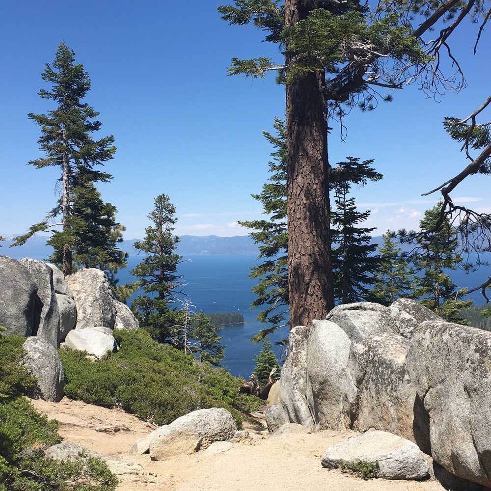


The Bayview trailhead is one of the many doors into the beautiful desolation wilderness. You have the option to go left to cascade lake/falls or right up to Maggie's peaks and deeper into the back country. Maggie's is a relatively easy peak to hike. It's short and not too steep. It's got views at the top that are as beautiful as the tallac hike, but not as strenuous. Back in October I did a memorial sunrise hike up Maggie's. I met a bunch of strangers at 2 am to hike in honor of a lost love one. Watching the sunrise high in the sky had to be one of the most epic experiences and I was thankful to be able to honor Sara. On the way up Maggie's there's a beautiful lake (I think it's called granite lake). There is a campground right at the trailhead but I'm apprehensive to stay there due to the amount of traffic that goes by .. when I camp, I want to be alone ! Ha! The trail gets busy , like most in Tahoe. Go early and have fun exploring. Pack it in , pack it out. read more



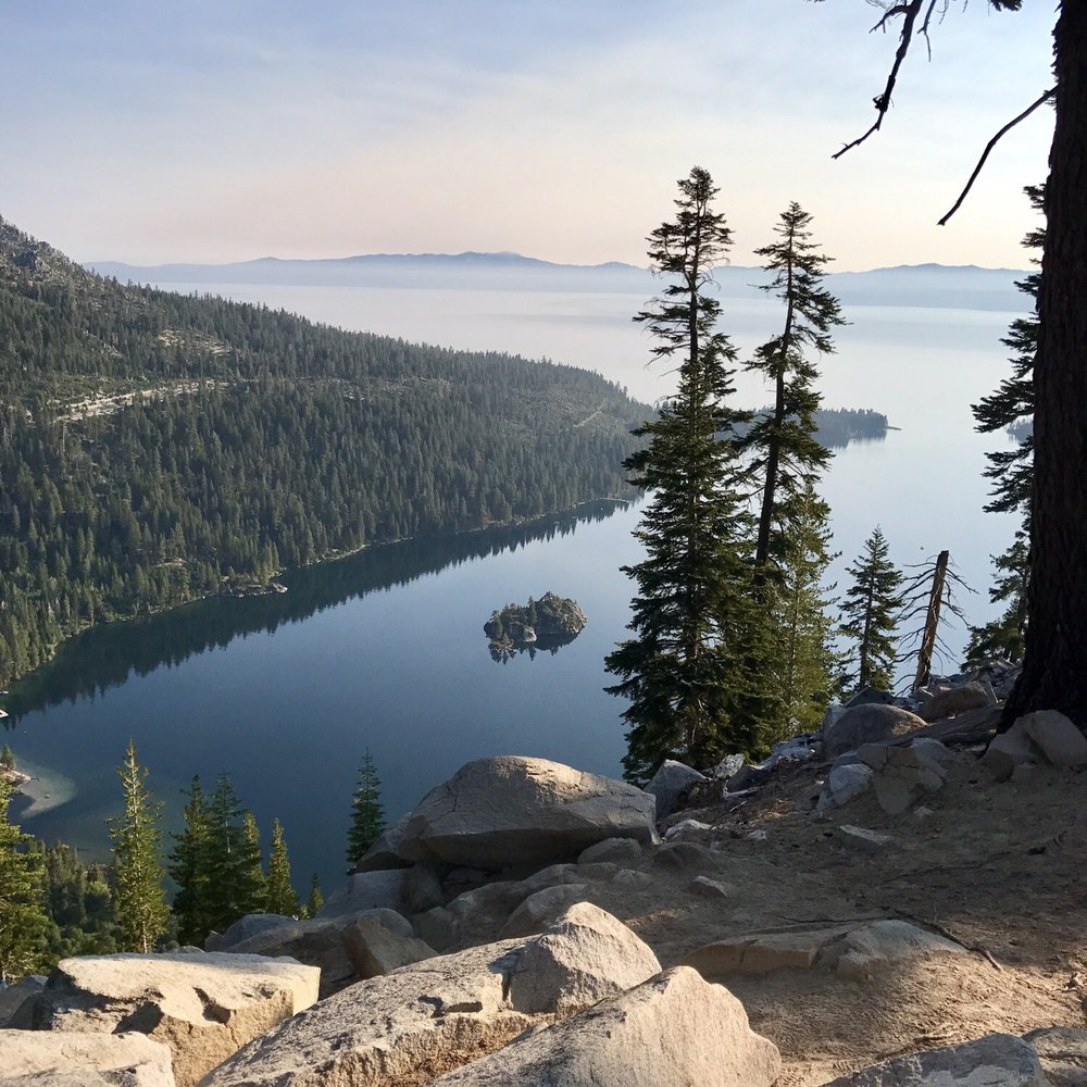

6 years ago
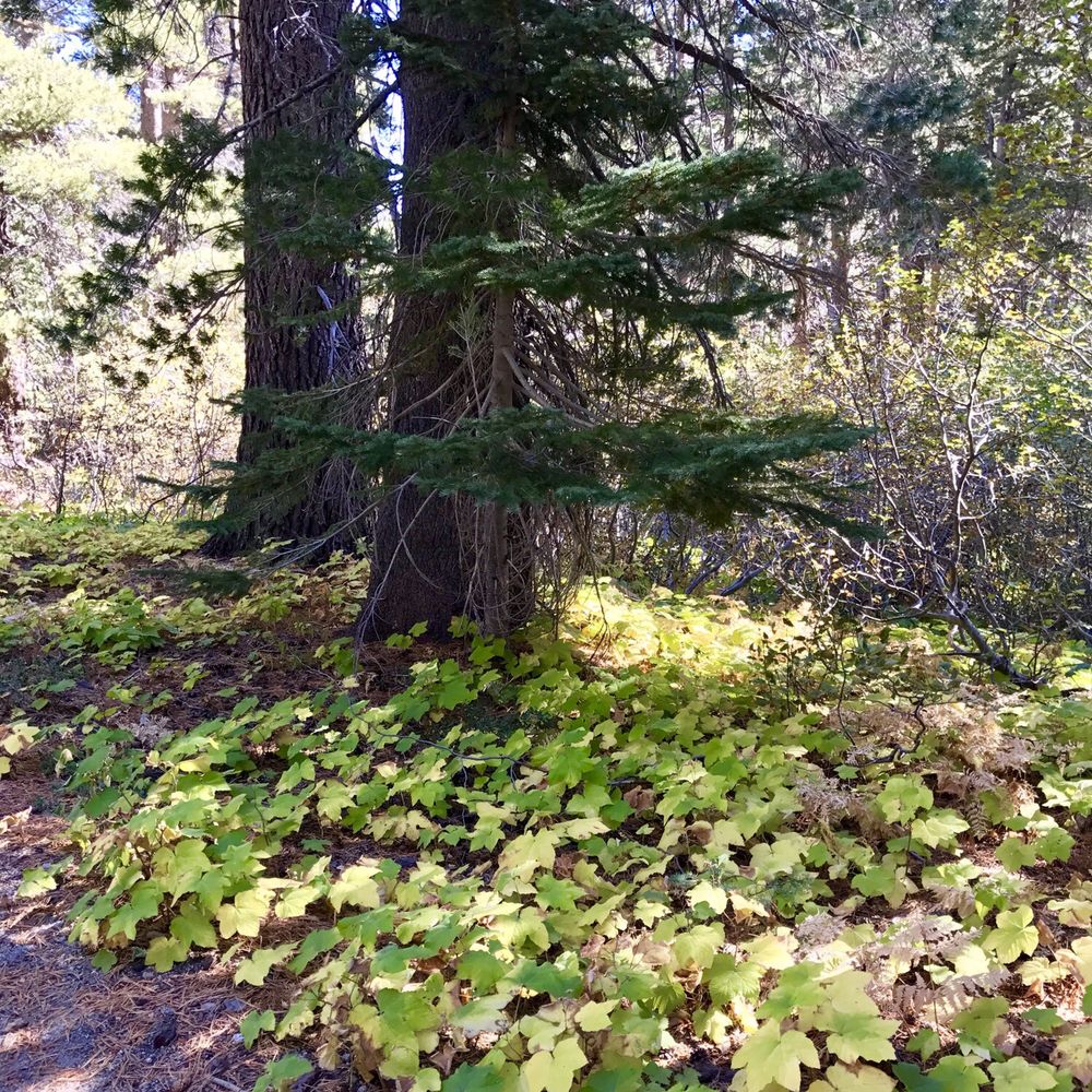
Awesome hike, about a 3 mile round trip. I thought it was pretty difficult but I was carrying a 30lb baby with me. Without the baby it would probably be fairly easy. Pretty consistent incline the whole way. Incredible views! read more

The parking for the trailhead is located at the rear of the Bayview Campground. There is limited free parking for cars and horse trailers. There's also an outhouse and trashcans at the trailhead parking lot. A hiking permit is required for Desolation Wilderness. No permit is required for the Cascade Falls Trail. Free permits are available at the trailhead. You might want to have a pen handy. We chose to hike to Cascade Falls. This was a great hike with some elevation gain. It's an out and back. We got on the trail by 9am. We only ran into other hikers on our return. There's not much shade on the trail so wear a hat or be sure to apply sunscreen. We hiked until the falls. The trail was a bit confusing, but fortunately there was a trail marker right before the falls. In October, the waterfall didn't have much water flow. Fortunately, the view of Cascade Lake with Lake Tahoe in the background was picturesque. read more
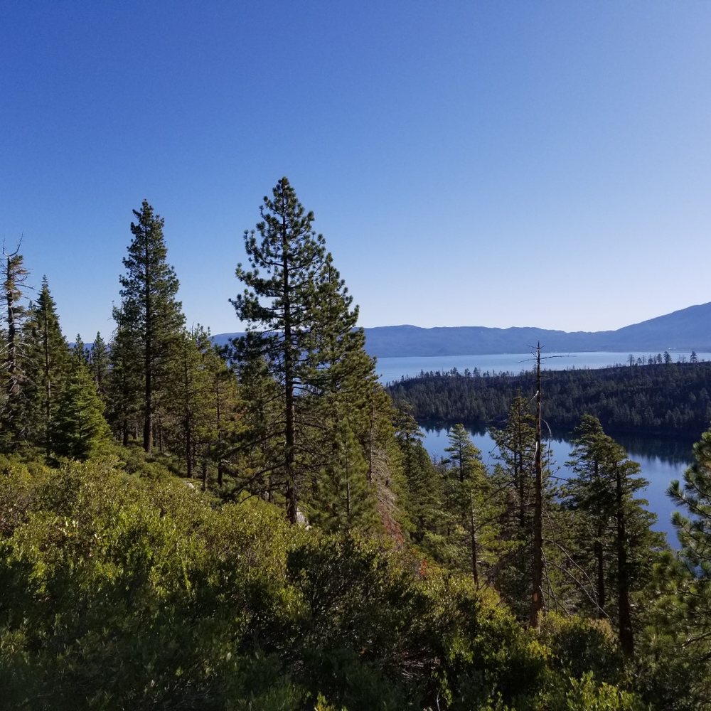
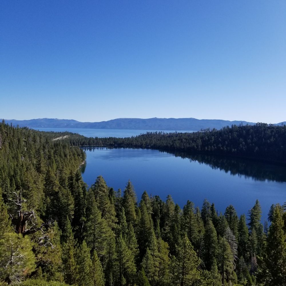


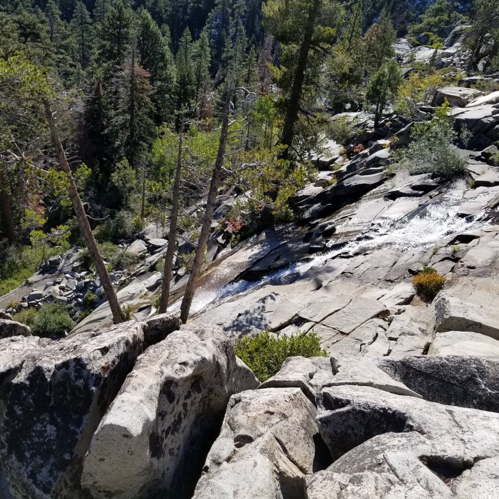


Wonderful trailhead with access to Cascade Falls trail, Maggie's Peak trail, and desolation wilderness. All hikes are good exercise and moderate to hard climbs. No easy stuff over here! Be warned though: parking is very limited for day hikers, and the area is packed in summer. So arrive early. read more

11 years ago
Bay View Campground is very convenient as it's literally across the road from Emerald Bay & next to Cascade Lake. Cheapest campground around if you're on a budget. Port-a-potties are clean enough as much as I hate using them. No shower & no taps or water at this campground. Walking distance to some of the most beautiful lakes & bays I've ever seen. My favorite & best memory: We built a raft out of old logs on the beach & went over to the little island in the middle of Emerald Bay. Definitely not for the faint hearted, must love cold water & long swims haha! read more
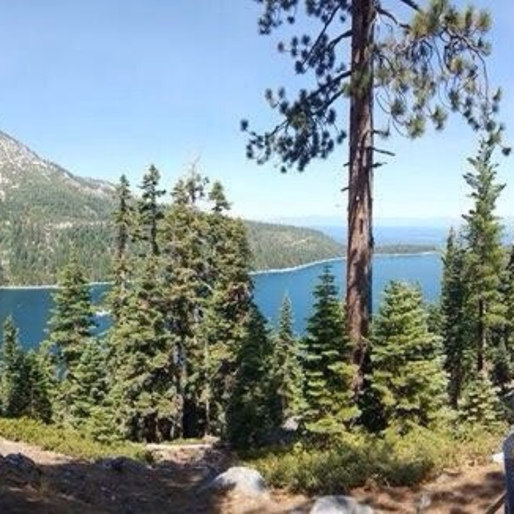


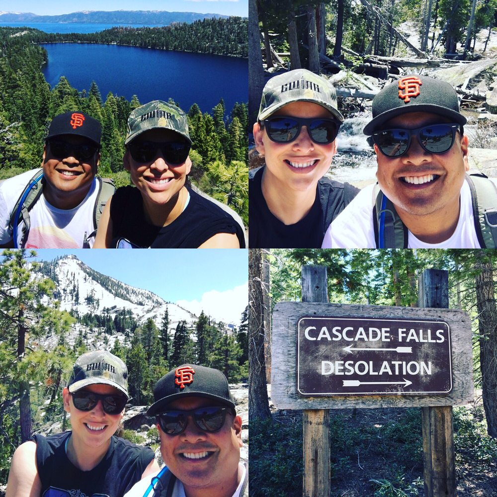
Awesome place to do a hike and getaway from the casinos and second hand smoke. Parking is limited at the trailhead, but there is plenty of parking along 89. Hike is fairly easy and would be good for kids or somebody not looking for a full blown overnight adventure. Mostly single track and some boulders you have to climb over, but you're rewarded with some epic views of Emerald Bay and Lake Tahoe. I'd plan for roughly 2.5 to 3 hours out and back so you can explore while at Cascade Falls and take some selfies! Also, there's plenty of port o potties near the entrance. read more




9 years ago

This review is for the Cascade Falls Trail, whose trailhead is at the back of Bayview Campground. (While I didn't use the campground itself, it seemed quite unappealing...very cramped!) This trail is short and fairly easy. The only full views you are going to get of Cascade Falls are limited bends in the trail, so appreciate them where you can! The trail ends at the top of the falls, and you can easily explore around the granite to find one of many gorgeous little resting spots...this is a fantastic place for a picnic! read more


Located across from Inspiration point, this trailhead can take you to Desolation Wilderness or the falls. Go to the left to get to the falls. The trail is fairly easy to navigate with a few portions with steep granite steps. It's about a 1 mile hike, with views of Cascade Lake and eventually white cloud falls. Parking can be hard, but there is parking on the road as well as in the lot. On Memorial Day weekend, the trail was fairly crowded. read more


10 years ago
Great hike. It was just the right length and wasn't too strenuous. The views were fabulous. I packed a lunch and ate it at the top of waterfall. Tip: get you waterfall vistas when you are farther away because you cant see the full waterfall close up. Lots of fun. Recommend this hike for all ages. read more


5 years ago


11 years ago

15 years ago
More info about Bayview Trailhead-Bayview Campground
Hwy 89
Twin Bridges, CA 95735
Directions
Hours
Outdoor Amenities
Ask the Community - Bayview Trailhead-Bayview Campground
Review Highlights - Bayview Trailhead-Bayview Campground
You might also consider




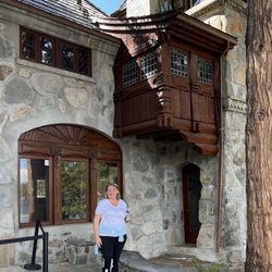
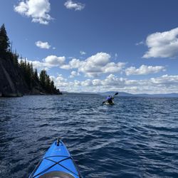
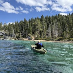
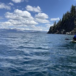











Bayview Trailhead-Bayview Campground - hiking - Updated September 2026
Best of Twin Bridges
People found Bayview Trailhead-Bayview Campground by searching for…
Waterfalls and Swimming Holes in Twin Bridges, CA
Hiking Trails With Waterfalls in Twin Bridges, CA
Campgrounds in Twin Bridges, CA
Water Parks in Twin Bridges, CA
Sunrise View in Twin Bridges, CA
River Swimming in Twin Bridges, CA
Fun Things to Do With Kids in Twin Bridges, CA
Lookout Points in Twin Bridges, CA
Sunrise Hike in Twin Bridges, CA
Picnic Areas in Twin Bridges, CA
Free Parking in Twin Bridges, CA
Public Tennis Courts in Twin Bridges, CA
Camping Sites in Twin Bridges, CA
Tent Camping in Twin Bridges, CA
Places to Swim in Twin Bridges, CA
Waterfalls in Twin Bridges, CA
Swimming Lakes in Twin Bridges, CA
Night Hiking in Twin Bridges, CA
Places to Take Pictures in Twin Bridges, CA
Browse Nearby
BEST of Twin Bridges, California Restaurants near Bayview Trailhead-Bayview Campground
BEST of Twin Bridges, California Coffee near Bayview Trailhead-Bayview Campground
BEST of Twin Bridges, California Things to Do near Bayview Trailhead-Bayview Campground
BEST of Twin Bridges, California Breakfast near Bayview Trailhead-Bayview Campground
BEST of Twin Bridges, California Beaches near Bayview Trailhead-Bayview Campground
BEST of Twin Bridges, California Shopping near Bayview Trailhead-Bayview Campground
BEST of Twin Bridges, California Campgrounds near Bayview Trailhead-Bayview Campground
BEST of Twin Bridges, California Sledding near Bayview Trailhead-Bayview Campground
BEST of Twin Bridges, California Snow Tubing near Bayview Trailhead-Bayview Campground


